
What is recorded here
In level, well-drained pasture. Depicted as a raised oval enclosure on the 1913 edition of the OS 6-inch map with a central scarp running NNW-SSE, indicating that the SW half of the interior was higher than that of the NE half. A report in 1976 (SMR file) noted a segment of an irregular bank of earth and stone (Wth 3-4m; H 1-1.25m), overgrown with briars and bushes, with fragmentary traces of an external fosse on its SW side. The monument has since been levelled and is not visible at ground level.
Compiled by: Patrick F. O'Donovan
Date of upload: 28 November 2012
The monument record does not grant public access. Check the route and ask the landowner before entering private land.
- What survives
- Recorded monument
Places near here
 BarrowBarrow, bowl-barrow · 440 yd
 Bawn in CastlereaBawn · 762 yd
 National Famine WayWalking route · 965 yd
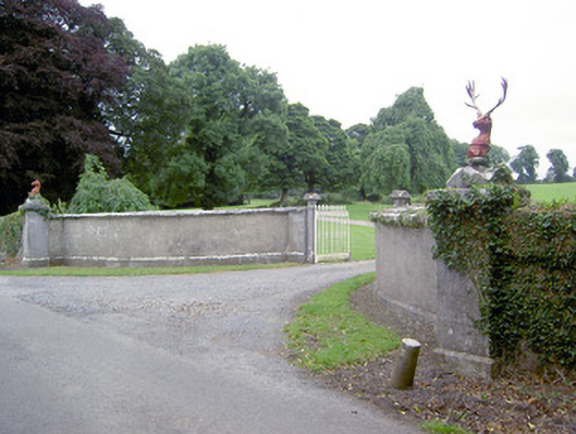 Castlereagates/railings/walls · 991 yd
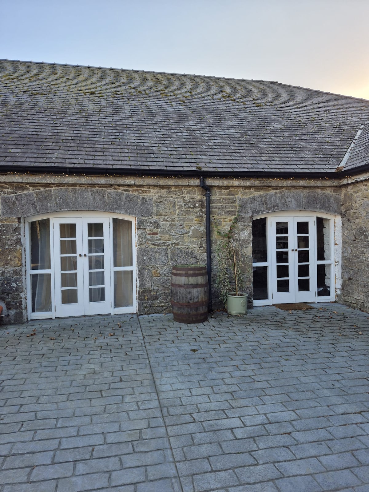 Enclosure in Bawn (moydow By.)Enclosure · 1041 yd
 Church in Moydow GlebeChurch · 1225 yd
 Bawn Castle & NunneryHouse, fortified house · 1604 yd
 Graveyard in Curry (ardagh By., Coolamber Ed)Graveyard · 3.0 mi
 First World War MemorialMemorial · 4.5 mi
 Saint Mel's CathedralCathedral · 4.6 mi
 Commons North WalkVisitor information · 9.5 mi
 Wild birdsVisitor information · 9.5 mi
Other information
Photo: Credit not shown in the picture search · Rights wording not checked; contact us if this picture should be removed