
What is recorded here
From the National Monuments Service (Archaeological Survey of Ireland) record CO053-057
Places near here
Photo credits
- Maker not stated on source page, en.wikipedia.org
- National Inventory of Architectural Heritage
- Maker not stated on source page, commons.wikimedia.org
- Jonathan Billinger, Geograph · Creative Commons Attribution-ShareAlike 2.0
- Maker not stated on source page, global-geography.org
- Maker not stated on source page, www.dreamstime.com
- Hourihan (pitch contractor and image source; individual photographer not named), www.hourihan.ie
- The Echo; photographer not named in the article, www.echolive.ie
 Fairy fort / earthen ringfort in MitchellsfortFairy fort / earthen ringfort · 480 yd
Explorer Tom Fairy fort / earthen ringfort in Mitchellsfort has an entrance that slopes down to the exterior, which is perfect if…
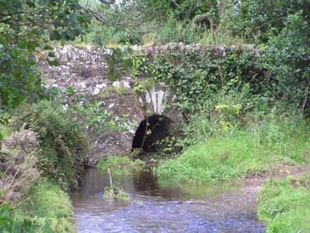 Trantstown BridgeBridge · 792 yd
Explorer Tom Trantstown Bridge is showing off its arch technology next to a modern metal one, like an uncle arguing with his nephew.…
 Church (Site of)Church · 1.0 mi
Explorer Tom Church in Kilrussane would describe itself as a very modest dot on a map, but it really wants to be a famous painting…
 kiln1.2 mi
Explorer Tom Kiln in Trantstown is a lime kiln reminding us of industrial days. Two lads once bet on who could light it fastest, and…
 Standing stone in Ballinlegane (barrymore By.)Standing stone · 1.2 mi
Explorer Tom A tiny standing stone in Ballinlegane says it has great leadership skills in a job interview, but nobody can find its…
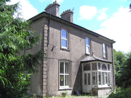 presbytery/parochial/curate's house1.2 mi
Explorer Tom Presbytery in Mitchellsfort has a front porch with high craftsmanship and segmental window openings that look very…
 farm house1.4 mi
Explorer Tom Farm house in Ballinvinny North has a ghost living upstairs who is too lazy to actually haunt anyone because the stairs…
 Church of the Immaculate ConceptionChurch/chapel · 1.4 mi
Explorer Tom Church of the Immaculate Conception in Tinageragh is using terracotta surrounds on its clerestory windows, which is a…
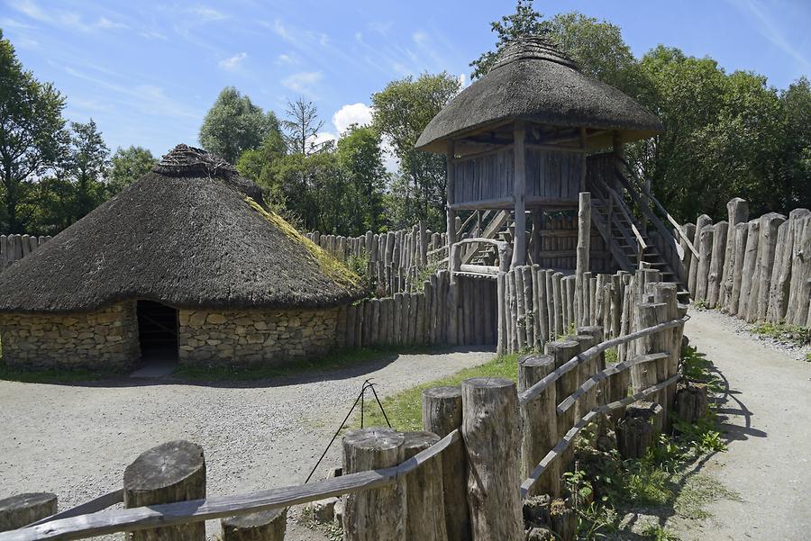 Fairy fort / earthen ringfort in Bishop's Island (barrymore By., Ardnageehy Par.)Fairy fort / earthen ringfort · 1.5 mi
Explorer Tom Fairy fort / earthen ringfort in Bishop's Island, County Cork is overgrown with briars and ferns, which sounds like a…
 Fairy fort / earthen ringfort in Ballindeenisk (barrymore By.)Fairy fort / earthen ringfort · 1.6 mi
Explorer Tom Ballindeenisk’s second fort claims there’s a tunnel straight to the local pub, but I think that’s just a tall tale to…
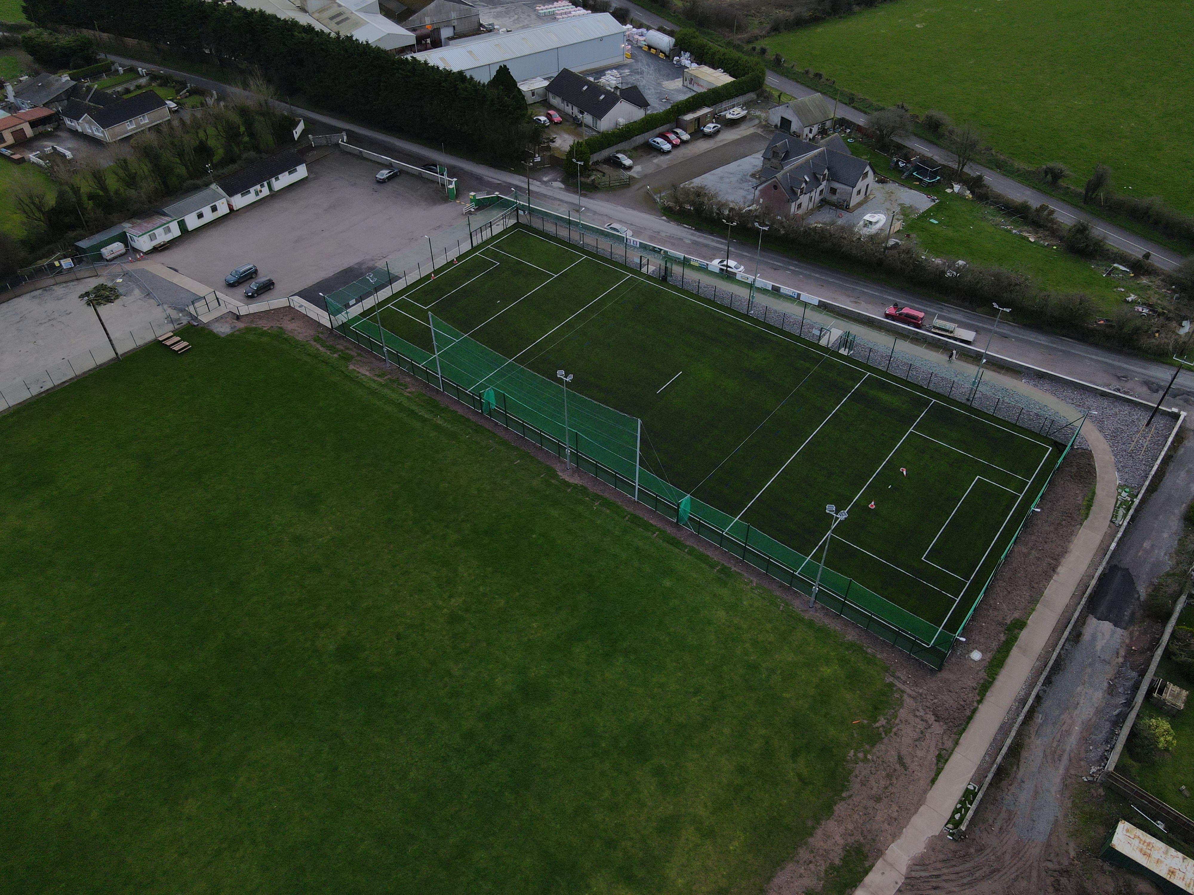 White's Cross GAA pitchGAA ground · 4.6 mi
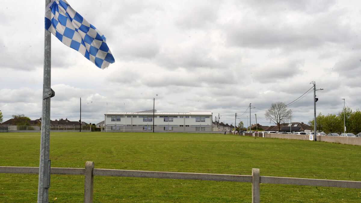 Tank Field, Brian DillonsGAA ground · 5.2 mi
More archaeology and monuments in County Cork · All of County Cork

What do you know about this place?Tap to add a comment or ask a question