What is recorded here
Located on a gentle NE-facing slope. The faint cropmark of circular enclosure (diam. c. 80m) defined by a narrow fosse feature is visible on aerial photographs (MM (3) 7, 8, 10, 12). It may have been a tree-ring.
The above description is derived from the published 'Archaeological Inventory of County Wexford' (Dublin: Stationery Office, 1996). In certain instances the entries have been revised and updated in the light of recent research.
Compiled by: Michael Moore
Date of upload/revision: 3 September, 2012
Amended: 2 May, 2014
The monument record does not grant public access. Check the route and ask the landowner before entering private land.
- What survives
- Recorded monument
Places near here
 Macmine Castlegates/railings/walls · 427 yd
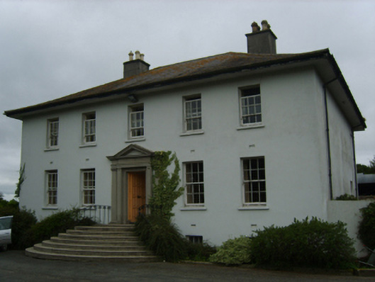 Merton Housecountry house · 927 yd
 IndicatedFairy fort / earthen ringfort · 1065 yd
 King's IslandIsland · 1114 yd
 Holy WellHoly well · 1225 yd
 Dick Joynt MemorialMemorial · 1.3 mi
 Black Castle (in ruins)Castle, tower house · 2.0 mi
 Scurlocksbush HillMountain / peak · 2.1 mi
 Wilton Ho.Castle, unclassified · 2.2 mi
 Raheennahoon HillMountain / peak · 3.7 mi
 National 1798 CentreMuseum · 4.2 mi
 Battle of Vinegar HillMajor battlefield · 4.5 mi