
What is recorded here
Marked on the 1839 and 1925 eds of the OS 6-inch map where it is described in gothic lettering as ‘Holy Well’. It is known locally as St. Anne’s well, and is located in a slight fold and towards the bottom of a steep W-facing slope of the Slaney valley with the N-S river c. 120m to the W. The source is c. 10m to the E but the well is a natural rock-pool (diam. c. 4m) beneath rock outcrop at S (H 1.5m). There is a large ivy-covered blackthorn tree growing on the S side, but there is no evidence of veneration at the well and no record of it.
Compiled by: Michael Moore
Date of upload: 3 September, 2012
Linked to St. Anne, the well is traditionally associated with fertility and healing, with pilgrims historically visiting to seek her intercession. Local tradition holds that the site was once more prominently used for devotional practices, though its current form reflects a quieter, lingering sacred presence.
The monument record does not grant public access. Check the route and ask the landowner before entering private land.
- What survives
- Recorded monument
Places near here
 King's IslandIsland · 626 yd
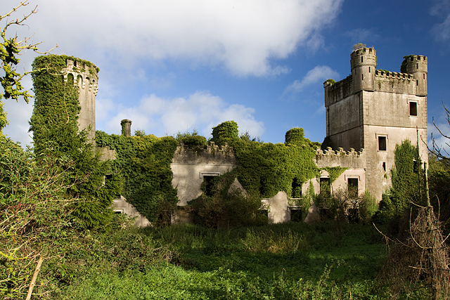 Macmine Castlecountry house · 766 yd
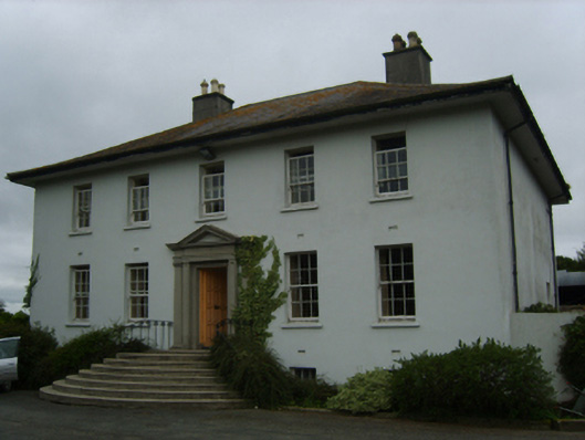 Merton Housecountry house · 1047 yd
 IndicatedFairy fort / earthen ringfort · 1.2 mi
 St.Johns Well (now dry)Holy well · 1.2 mi
 Scurlocksbush HillMountain / peak · 1.5 mi
 CastleCastle, ringwork · 2.8 mi
 Wilton Ho.Castle, unclassified · 2.8 mi
 Raheennahoon HillMountain / peak · 4.3 mi
 National 1798 CentreMuseum · 4.3 mi
 Battle of Vinegar HillMajor battlefield · 4.7 mi
 Duffry GateMemorial · 4.8 mi
Other information
Photo: Credit not shown in the picture search · Rights wording not checked; contact us if this picture should be removed