
What is recorded here
A D-shaped enclosure (overall diam. c. 60m NNE-SSW; c. 65m WNW-ESE) visible as a cropmark on satellite imagery (Digitalglobe satellite imagery, 2011-2013). The S side of the enclosure (L. c. 55m) is straight. A small pond (dims. c. 23m x 15m) with a marshy area extending NW of it, is indicated on the 1st (1843) ed. OS 6-inch map, roughly immediately NW of the enclosure. On the 1903 revised ed. the pond is indicated as a roughly rectangular area (dims. c. 30m x 10m), with the townland boundary running along the N edge. The enclosure is partially indicated by two lines, drawn as discontinuous field boundaries, one (L c. 30m) defining the NE perimeter and the other (L c. 54m) defining the S side.
See attached:
TN004-050----_01 Digitalglobe 2011-2013
Compiled by: Jean Farrelly
Date of upload: 28 June 2022
The monument record does not grant public access. Check the route and ask the landowner before entering private land.
- What survives
- Recorded monument
Places near here
 Enclosure in LorrhaEnclosure · 566 yd
 Fulacht fia in Curraghglass (lorrha Par.)Fulacht fia · 636 yd
 Church (in Ruins)Church · 825 yd
 Lackeen castle (in ruins)Castle, tower house · 1402 yd
 Water millWater mill, unclassified · 1417 yd
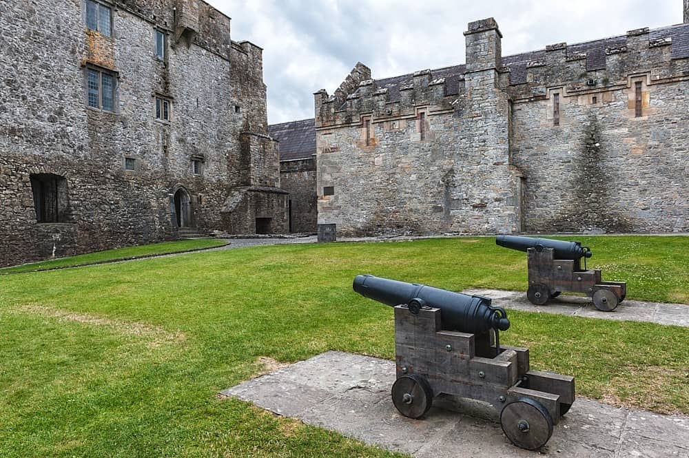 Castle, Kilcarren Ho.Castle, unclassified · 1432 yd
 Lumcloon WoodWood · 3.5 mi
 Sallow IslandIsland · 3.7 mi
 Slevoir BayBay · 3.7 mi
 Portland IslandIsland · 3.8 mi
 European ashEuropean ash · 4.7 mi
 Banagher MarinaHeritage attraction · 8.6 mi
Other information
Photo: Credit not shown in the picture search · Rights wording not checked; contact us if this picture should be removed