
What is recorded here
Located immediately S of Lackeen Castle (TN004-022001) and seventeenth-century house (TN004-022005) and N of Piperstown deserted village (TN004-022004) which probably dates to the late sixteenth/seventeenth century. The Civil Survey describes 'a mill standing on a little brooke running through the sd lands' of Lackeen (Simington 1931, vol. 1, 315). A rectangular building (int. dims. 5.5m x 8.8m), one storey high with attic, aligned roughly N-S with a millrace running E-W past the N gable. It is composed of limestone rubble - the lower portion is well coursed while the upper portion is randomly coursed - the walls are 0.6m T. All the opes in the building have wooden lintels. There is a flat-headed opening (Wth 1m) at ground level in the centre of the N gable which probably accommodated the mill-wheel. On either side of this there is a rectangular recess (Wth 0.4m x H 0.5m) 0.5m above internal ground level. There is an offset in the N gable 1.6m above the internal ground level; a centrally placed flat-headed window lights this upper area. In the S gable there is a central flat-headed doorway with a small window above in the apex of the gable. At the W end of the S gable there is a fireplace (Wth 0.75m) with a crude stone lintel. At the E end of the S gable, 0.76m from the E wall, there is a small recess at ground level into which a low stone wall appears to have been keyed; only some of the foundation stones survive. This feature extends N-S and is extant for a distance of 2.8m. The N end of the E wall has largely collapsed and in the S end there is a small window (Wth 0.45m x H 0.3m) 1.6m above internal ground level.
The above description is derived from 'The Archaeological Inventory of County Tipperary. Vol. 1 - North Tipperary' compiled by Jean Farrelly and Caimin O'Brien (Dublin: Stationery Office, 2002). In certain instances the entries have been revised and updated in the light of recent research.
Date of upload/revision: 22 September 2008
The monument record does not grant public access. Check the route and ask the landowner before entering private land.
- What survives
- Recorded monument
Places near here
 Lackeen castle (in ruins)Castle, tower house · 69 yd
 Lackeen Househouse · 114 yd
 Site of Piperstown VillageSettlement deserted, medieval · 219 yd
 Piperstown VillageArchaeological place · 258 yd
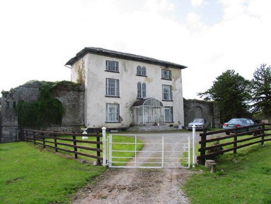 Abbeville Househouse · 821 yd
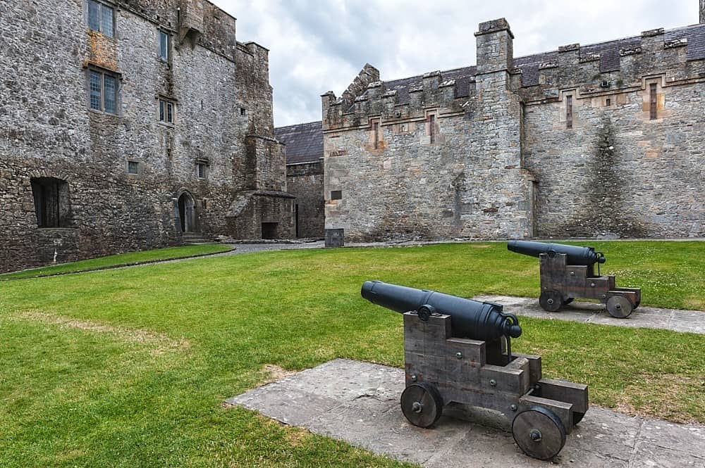 Castle, Kilcarren Ho.Castle, unclassified · 1.1 mi
 Lumcloon WoodWood · 2.7 mi
 Sallow IslandIsland · 4.3 mi
 Portland IslandIsland · 4.4 mi
 Slevoir BayBay · 4.5 mi
 Borris WoodWood · 6.1 mi
 All Saints' WellSpring · 6.7 mi
Other information
Photo: Credit not shown in the picture search · Rights wording not checked; contact us if this picture should be removed