What is recorded here
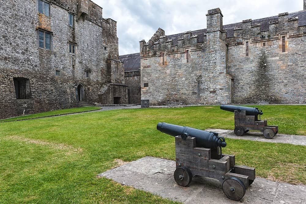
Kilcarren Castle stood circular inside the farmyard of Kilcarren House, but by 1654 it had reduced to an old stump beside a decayed orchard and four cottages. That sudden disappearance suggests the stones were pulled up, reused or buried rather than simply rotting in rain. The castle may have stopped being a castle long before it stopped being a structure, becoming ordinary property in a living township.
Situated on the brow of a gentle slope in undulating pasture with a nearby bog to the S. Described in the Civil Survey (1654-6) as 'an old stumpe of a castle, a decayed orchard & fower cottages' (Simington 1934, vol. 2, 318). O'Donovan describes the castle as a circular structure located in the farmyard of Kilcarren House (FitzPatrick 1985, vol. 2, 69). Several architectural fragments including portions of a limestone window are located in a field to the S of the castle site. No visible remains at ground level.
The above description is derived from 'The Archaeological Inventory of County Tipperary. Vol. 1 - North Tipperary' compiled by Jean Farrelly and Caimin O'Brien (Dublin: Stationery Office, 2002). In certain instances the entries have been revised and updated in the light of recent research.
Date of upload/revision: 22 September 2008
The monument record does not grant public access. Check the route and ask the landowner before entering private land.
- What survives
- Recorded monument
Places near here
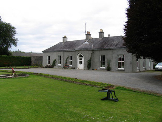 Kilcarren Househouse · 18 yd
 RIC barracksRIC barracks · 944 yd
 Enclosure in LorrhaEnclosure · 1239 yd
 LissagaddaEnclosure · 1312 yd
 Lackeen castle (in ruins)Castle, tower house · 1.1 mi
 Ballyhaugh Castle (in ruins)Castle, tower house · 1.6 mi
 Lumcloon WoodWood · 3.3 mi
 Slevoir BayBay · 3.8 mi
 Sallow IslandIsland · 4.3 mi
 Portland IslandIsland · 4.5 mi
 Borris WoodWood · 5.0 mi
 Banagher MarinaHeritage attraction · 9.2 mi
Other information
Photo: Credit not shown in the picture search · Rights wording not checked; contact us if this picture should be removed