
What is recorded here
A circular enclosure (int. diam. c. 35m; overall diam. c. 50mm) visible as a cropmark on satellite imagery (Digitalglobe satellite imagery, 2011-2013), identified and reported by Anne-Karoline Distel.
See attached:
TN004-049----_01 Digitalglobe 2011-2013
Compiled by: Jean Farrelly
Date of upload: 28 June 2022
The monument record does not grant public access. Check the route and ask the landowner before entering private land.
- What survives
- Recorded monument
Places near here
 LissagaddaEnclosure · 1132 yd
 Fulacht fia in Curraghglass (lorrha Par.)Fulacht fia · 1175 yd
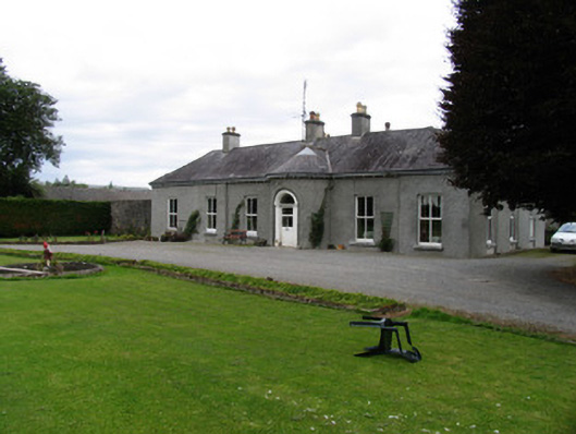 Kilcarren Househouse · 1231 yd
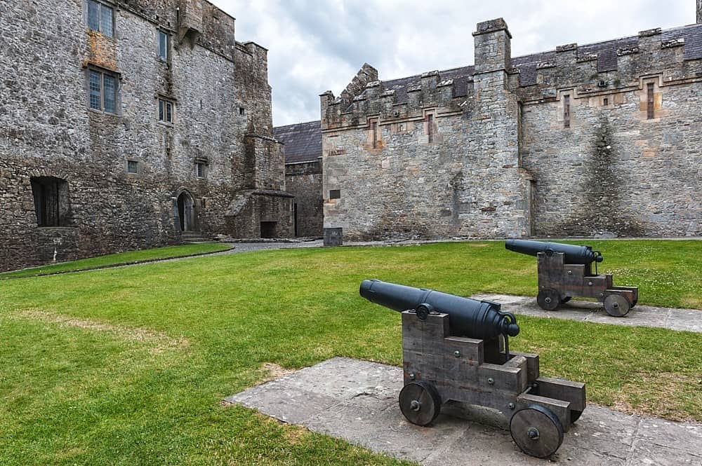 Castle, Kilcarren Ho.Castle, unclassified · 1239 yd
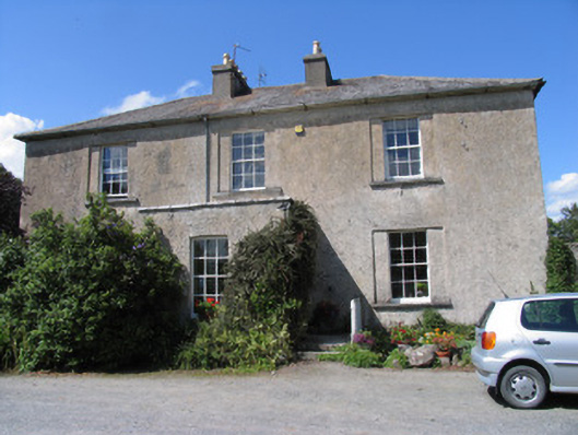 The Old Rectoryrectory/glebe/vicarage/curate's house · 1256 yd
 The MoatCastle, motte and bailey · 1.0 mi
 Slevoir BayBay · 3.5 mi
 Sallow IslandIsland · 3.6 mi
 Lumcloon WoodWood · 3.7 mi
 Portland IslandIsland · 3.8 mi
 European ashEuropean ash · 4.5 mi
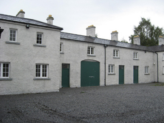 Portumna Castlestables · 4.9 mi
Other information
Photo: Credit not shown in the picture search · Rights wording not checked; contact us if this picture should be removed