
What is recorded here
Situated on a low rise of ground with good views in all directions. The poorly preserved remains of a tower house now totally covered in collapsed rubble making detailed examination impossible. The only features visible are the lower jambs of the main doorway located in the centre of the S wall. This led into a lobby with a two-centred doorway directly in front, with chamfered and finely punch-dressed jambs, which gave access to the ground floor. The mural stairs in the W end of the S wall and a small guardroom in the SE angle were also accessed from the lobby. A single-light ogee-headed window has been inserted into the E gable of a shed to the N of the tower house. According to the OS Letters the tower collapsed in the high winds of January 6th, 1839 (O'Flanagan 1930, vol. 3, 28).
The above description is derived from 'The Archaeological Inventory of County Tipperary. Vol. 1 - North Tipperary' compiled by Jean Farrelly and Caimin O'Brien (Dublin: Stationery Office, 2002). In certain instances the entries have been revised and updated in the light of recent research.
Date of upload/revision: 22 September 2008
The monument record does not grant public access. Check the route and ask the landowner before entering private land.
- What survives
- Recorded monument
Places near here
 Fulacht fia in BallyhaughFulacht fia · 744 yd
 Enclosure in BallyhaughEnclosure · 917 yd
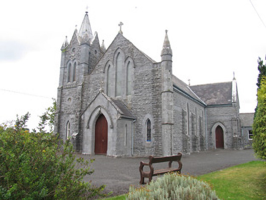 Catholic Church of Saint Michael the Archangelchurch/chapel · 1471 yd
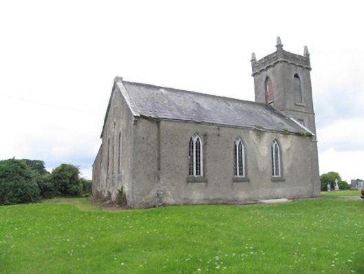 Aglish Church (Aghlishcloghane)church/chapel · 1726 yd
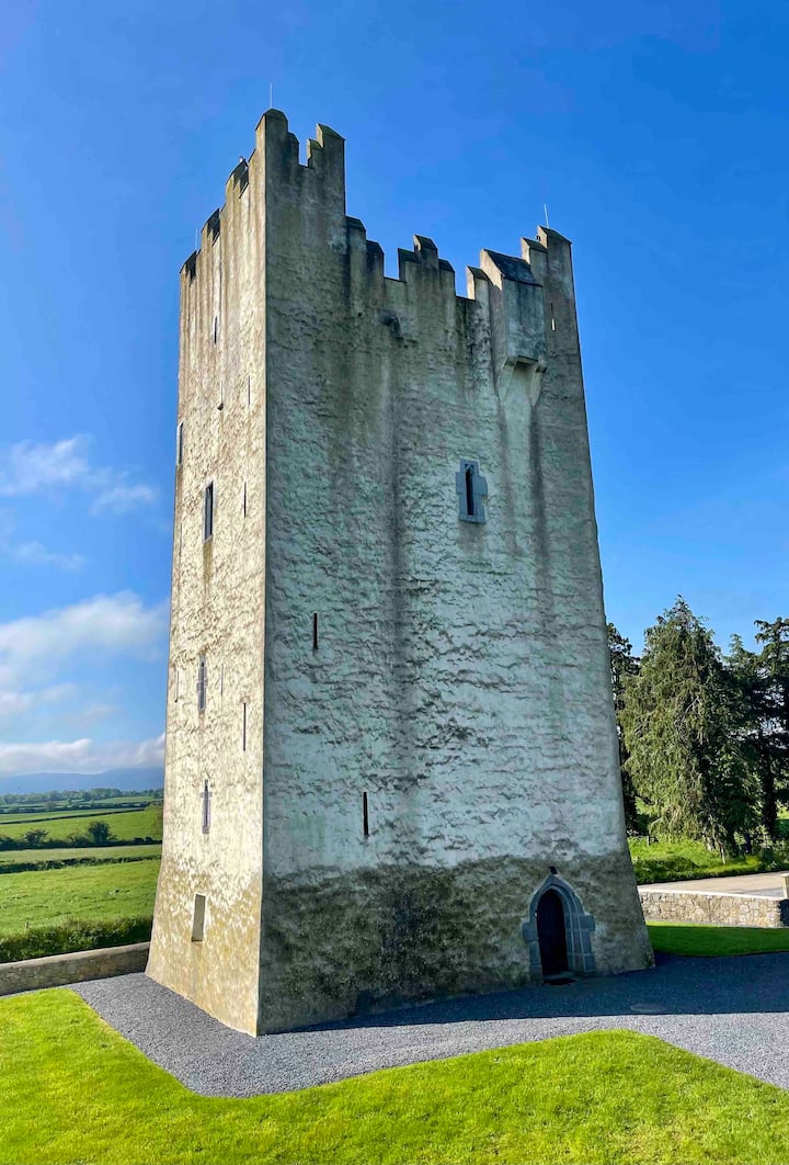 Kilfadda Castle (in ruins)Castle, Anglo-Norman masonry castle · 1.3 mi
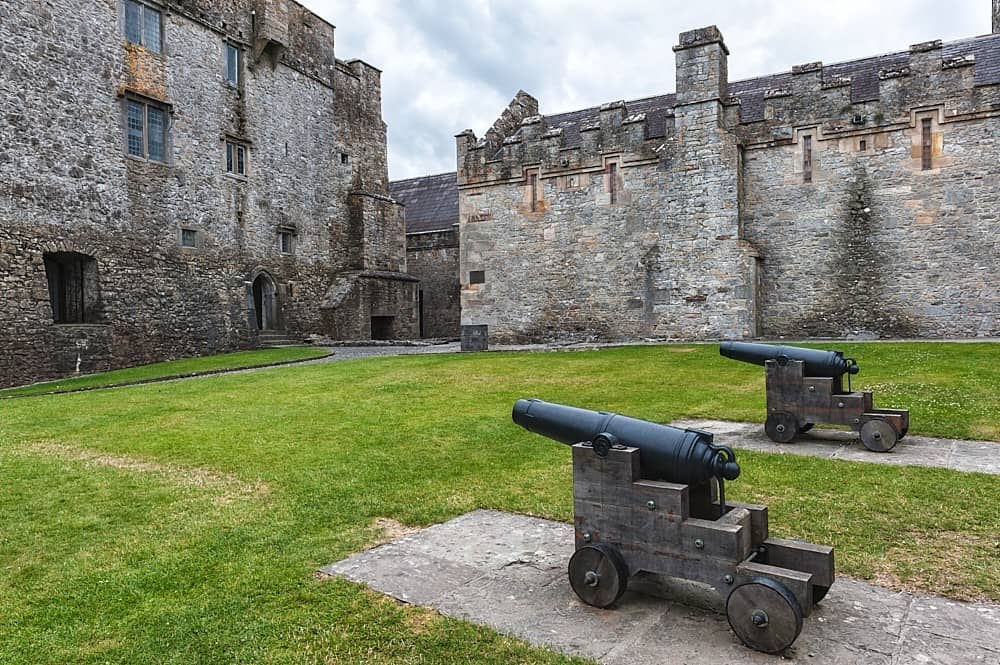 Castle, Kilcarren Ho.Castle, unclassified · 1.6 mi
 Borris WoodWood · 3.6 mi
 Slevoir BayBay · 4.0 mi
 Lumcloon WoodWood · 4.0 mi
 Hayes IslandIsland · 5.1 mi
 Roger's IslandIslet · 5.3 mi
 MacDonagh HouseMemorial · 7.8 mi
Other information
Photo: Credit not shown in the picture search · Rights wording not checked; contact us if this picture should be removed