
What is recorded here
Situated on a slight rise of natural rock outcrop in undulating countryside. The poorly preserved remains of a small rectangular church (ext. dims. 6.05m N-S; 9.65m E-W; wall T 0.8m) built with roughly coursed limestone boulders. Only the E wall, with single-light ogee-headed window, survives to full height with wall-footings elsewhere. The wall-footings of two buildings attached to the N and S walls of the church survive. The larger S building (ext. dims. 13.85m N-S; 10.2m E-W; wall T 1.2m) is divided internally by a drystone wall on a N-S axis, while the smaller building (ext. dims. 5.7m N-S; 7m E-W; wall T 1m) to the N has no internal divisions. Both attached buildings may represent the private residence of the clergy associated with the adjoining church. Possible earthworks (TN004-012002) to the NE and E of the church were indicated on an aerial photograph (GSIAP, M449/8) taken in 1973 but these appear to be natural features.
The above description is derived from 'The Archaeological Inventory of County Tipperary. Vol. 1 - North Tipperary' compiled by Jean Farrelly and Caimin O'Brien (Dublin: Stationery Office, 2002). In certain instances the entries have been revised and updated in the light of recent research.
Date of upload/revision: 22 September 2008
The monument record does not grant public access. Check the route and ask the landowner before entering private land.
- What survives
- Recorded monument
Places near here
 Settlement desertedSettlement deserted, medieval · 225 yd
 Fulacht fia in Curraghglass (lorrha Par.)Fulacht fia · 407 yd
 Lackeen castle (in ruins)Castle, tower house · 947 yd
 Lackeen Househouse · 967 yd
 Water millWater mill, unclassified · 998 yd
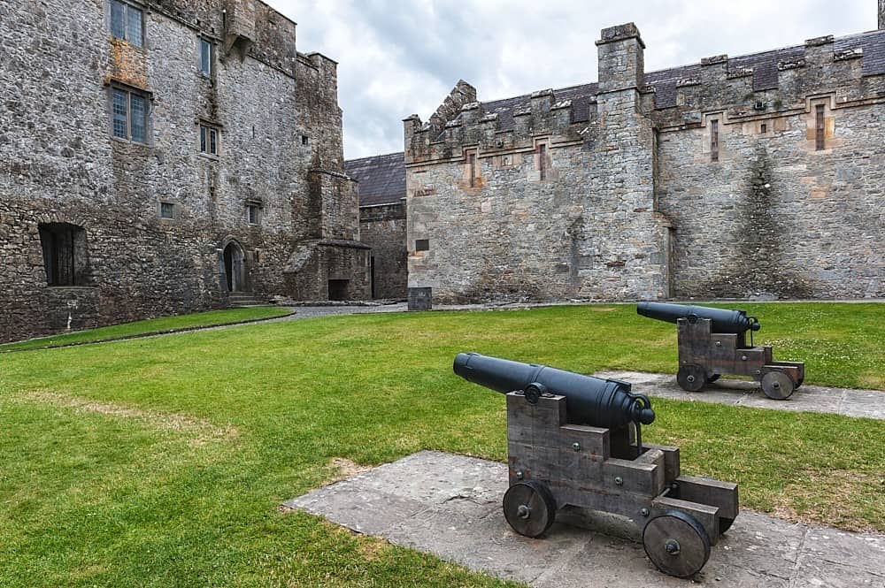 Castle, Kilcarren Ho.Castle, unclassified · 1.2 mi
 Lumcloon WoodWood · 3.2 mi
 Sallow IslandIsland · 3.8 mi
 Portland IslandIsland · 3.9 mi
 Slevoir BayBay · 4.1 mi
 European ashEuropean ash · 5.0 mi
 Banagher MarinaHeritage attraction · 8.1 mi
Other information
Photo: Credit not shown in the picture search · Rights wording not checked; contact us if this picture should be removed