
What is recorded here
Situated on a slight rise of ground in low-lying pastureland. The barely discernible outline of a circular enclosure (diam. 40m N-S) which was destroyed during land improvement schemes in the 1950s. Described as an old garden feature of no archaeological interest (OPW file).
The above description is derived from 'The Archaeological Inventory of County Tipperary. Vol. 1 - North Tipperary' compiled by Jean Farrelly and Caimin O'Brien (Dublin: Stationery Office, 2002). In certain instances the entries have been revised and updated in the light of recent research.
Date of upload/revision: 22 September 2008
This remains an important historical record, but the official description says the monument is no longer visible or has been destroyed. The monument record does not grant public access. Check the route and ask the landowner before entering private land.
- What survives
- No visible remains or recorded as destroyed
Places near here
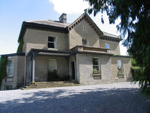 Somerset Househouse · 617 yd
 Enclosure in AbbevilleEnclosure · 1048 yd
 Fulacht fia in AbbevilleFulacht fia · 1078 yd
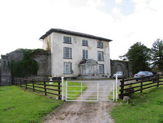 Abbeville Househouse · 1214 yd
 Lackeen castle (in ruins)Castle, tower house · 1304 yd
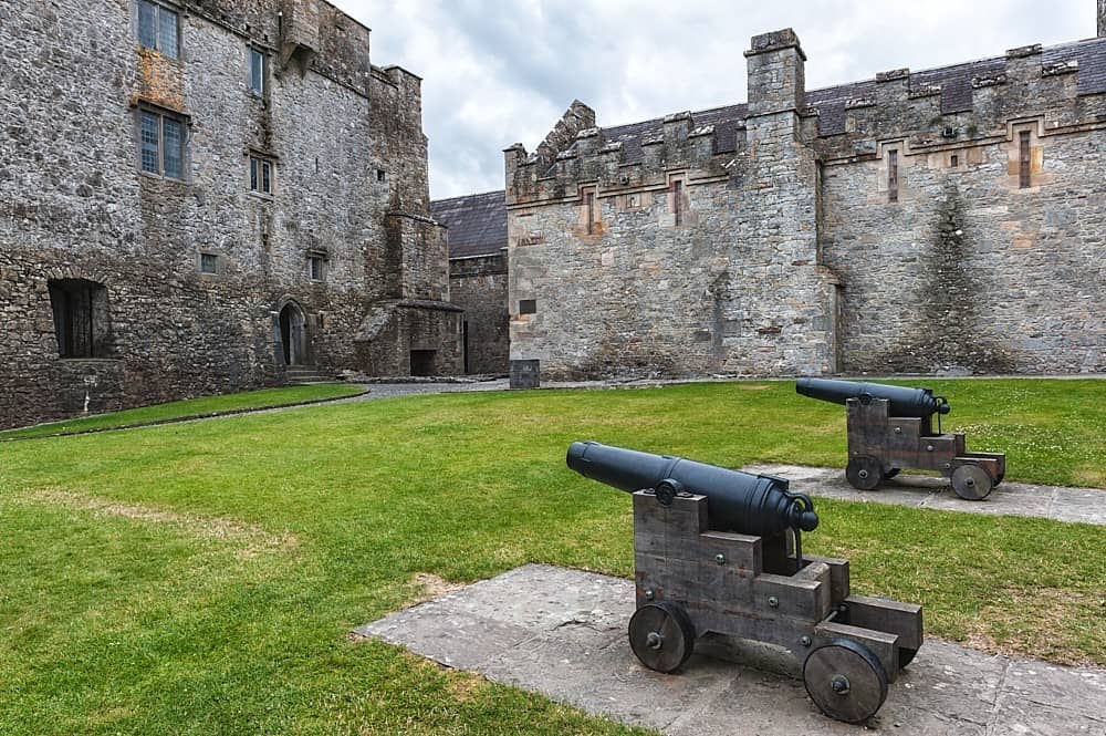 Castle, Kilcarren Ho.Castle, unclassified · 1.7 mi
 Lumcloon WoodWood · 2.0 mi
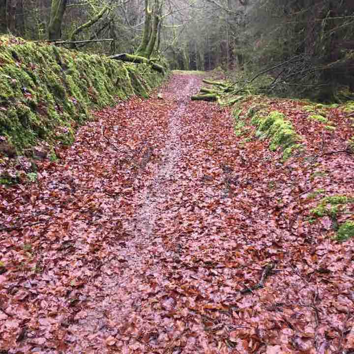 Killeen WoodWood · 4.9 mi
 Sallow IslandIsland · 5.0 mi
 Portland IslandIsland · 5.0 mi
 All Saints' WellSpring · 6.1 mi
 Banagher MarinaHeritage attraction · 7.7 mi
Other information
Photo: Credit not shown in the picture search · Rights wording not checked; contact us if this picture should be removed