
What is recorded here
This was reported to ASI by Colm Chambers on 24 July 2013. He describes it as a 'circular or sub-circular enclosure, with diameter of roughly 50m, surviving as cropmark to the north, west and east and as a field boundary to the south and south-southeast (see www.bing/maps). The feature is visible on the OSI Orthophotos 2005.'
Compiled by: Denis Power
Date of upload: 19 August 2013
The monument record does not grant public access. Check the route and ask the landowner before entering private land.
- What survives
- Recorded monument
Places near here
 Killeagh Railway Stationrailway station · 460 yd
 Historical Graveyard InformationVisitor information · 602 yd
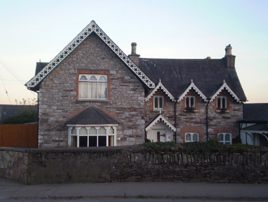 Church Cottagehouse · 612 yd
 St. Abbans Nunnery (Site of)Ecclesiastical site · 623 yd
 Constab BkBarracks · 925 yd
 Fainin's WellSpring · 1.2 mi
 Castle (in Ruins)Castle, unclassified · 1.3 mi
 Glenbower WoodForest · 1.8 mi
 Inchiquin Castle (in Ruins)Castle, Anglo-Norman masonry castle · 2.2 mi
 William Heffernan MemorialMemorial · 2.9 mi
 Mitchell's WoodWood · 3.3 mi
 Glebe IslandIslet · 3.9 mi
Other information
Photo: Credit not shown in the picture search · Rights wording not checked; contact us if this picture should be removed