
What is recorded here
From the National Monuments Service (Archaeological Survey of Ireland) record GA072-045
Places near here
Photo credits
- National Inventory of Architectural Heritage
- Maker not stated on source page, www.irelandhighlights.com
- Maker not stated on source page, commons.wikimedia.org
- Maker not stated on source page, www.youtube.com
- Maker not stated on source page, www.myhome.ie
- Kmcnamee, Wikimedia Commons · CC BY-SA 4.0
- Maker not stated on source page, www.interment.net
- Photographer not named on Sarsfields GAA club page, www.sarsfields-gaa.com
 Saint Enda's National SchoolSchool · 1650 yd
Explorer Tom Saint Enda's National School has been dodging that bishop since 1887. The kids probably ran off before he even finished…
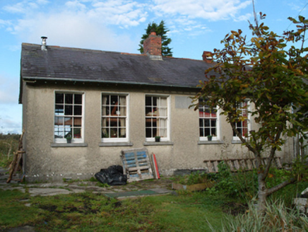 Saint Monica's National SchoolSchool · 1.3 mi
Explorer Tom Saint Monica’s National School in Shanballard is playing hard to get after giving up sweets for Lent. It used to be a…
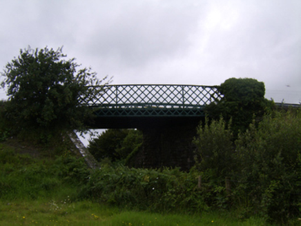 bridge1.4 mi
Explorer Tom Bridge in Clooncah is holding up traffic and bad romance advice simultaneously. Some poor soul probably proposed next…
 Saint Michael's Catholic ChurchChurch/chapel · 1.5 mi
Explorer Tom Saint Michael's Catholic Church in Gorteen has a long-standing grudge against the weather for ruining its stained…
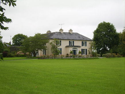 Attymon HouseHouse · 1.8 mi
Explorer Tom Attymon House has such a long list of former names that it’s given up trying to remember its own identity, which is…
 Fairy fort / ringfort in StreamsfordFairy fort / ringfort · 2.4 mi
Explorer Tom Fairy fort / ringfort in Streamsford has a linear depression inside that might be a passage or just a very long hiccup.…
 Bullaun stone in KillimorBullaun stone · 2.8 mi
Explorer Tom Bullaun stone in Killimor smells like wet moss and ancient secrets, according to my expert nose. It’s just a granite…
 Killimor CastleCastle, tower house · 2.8 mi
Explorer Tom Killimor Castle in Galway would post on social media about its river views and complain about the humidity. Dermott O…
 Laragh Castle in ruinsCastle, unclassified · 3.1 mi
Explorer Tom Laragh Castle in Laragh is basically a rumor with a boggy address. Shane O'Daly owned it, but by 1839 it was just a…
 Killimordaly Hurling Club GAA pitchGAA ground · 3.4 mi
 Mapped cemeteryCemetery · 4.6 mi
Explorer Tom The first owner of this site allegedly had an escape plan involving a basket and a very brave mule that got nowhere…
 Sarsfields GAA, CastlebinGAA ground · 4.9 mi
More archaeology and monuments in County Galway · All of County Galway

What do you know about this place?Tap to add a comment or ask a question