What is recorded here
Half-buried in Galway grass, the oval rath still holds its ridge like a breath caught mid-sentence. A shallow groove cuts across the eastern half, perhaps a passage dug for people or imagined for fairies, and that uncertainty is the point: the fort is large enough to have lived in, but vague enough to belong elsewhere. What is certain is shape, not story; the land kept the outline and gave back the rest.
On a ridge in undulating grassland. Poorly preserved oval rath (NE-SW 29m, NW-SE 25m) defined by a scarp and external fosse; the latter survives only from E through S to SW. In E half of the interior, there is a shallow linear depression (L 13.8m, Wth 1.5m), its long axis running NNE-SSW; a possible Man-made underground passage.
The above description is derived from the published 'Archaeological Inventory of County Galway Vol. II - North Galway'. Compiled by Olive Alcock, Kathy de hÓra and Paul Gosling (Dublin: Stationery Office, 1999).
Date of upload: 05 August 2010
The monument record does not grant public access. Check the route and ask the landowner before entering private land.
- What survives
- Recorded monument
Places near here
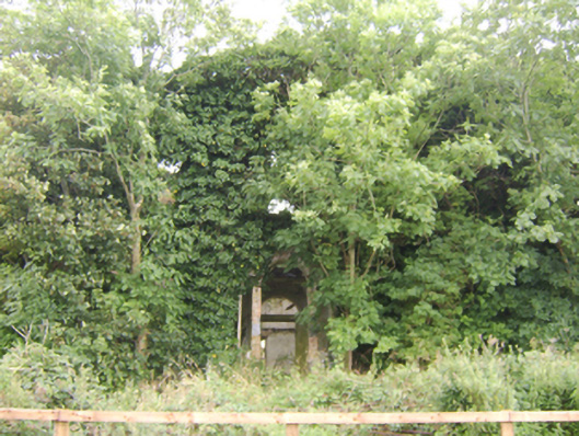
 Enclosure in StreamsfordEnclosure · 925 yd
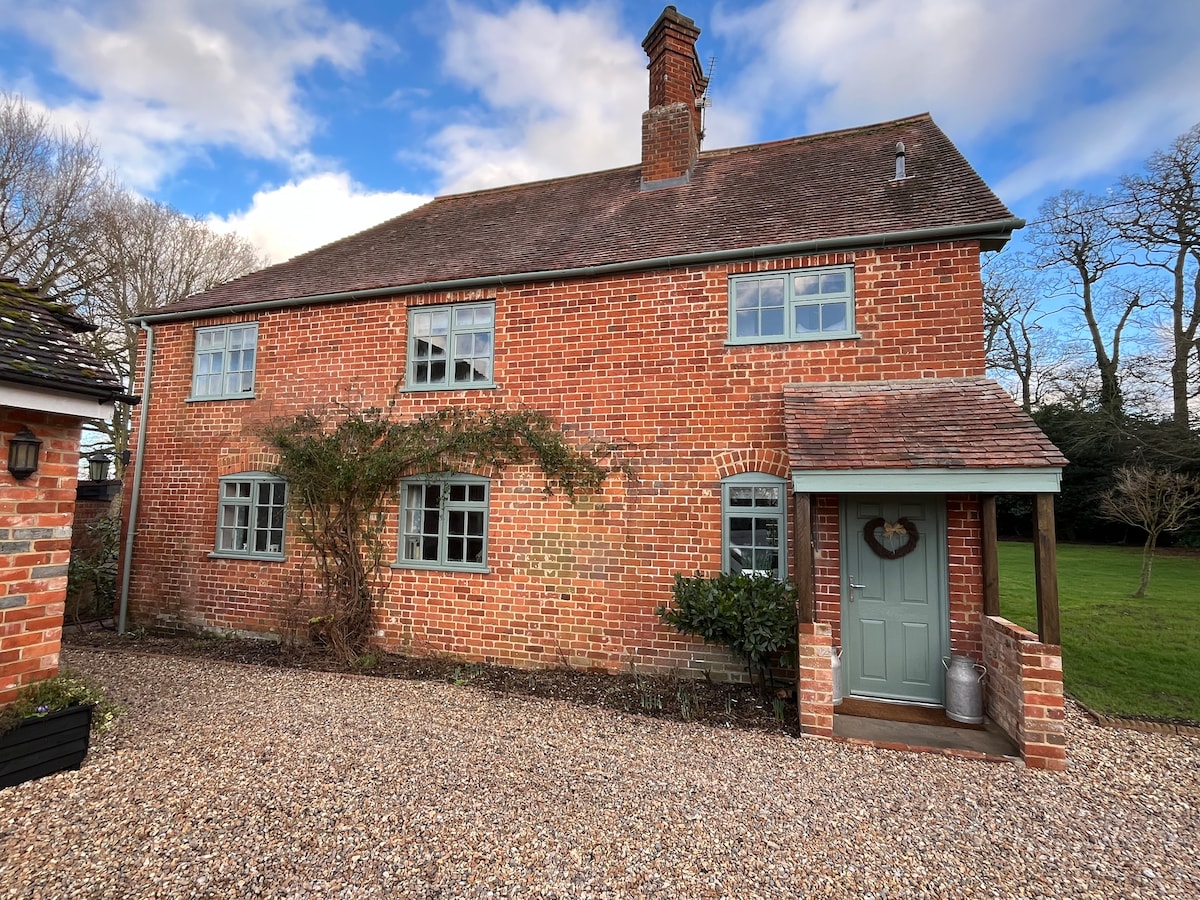
 Beech Hillcountry house · 1059 yd
 Enclosure in Beech HillEnclosure · 1177 yd
 IndicatedQuarry · 1507 yd
 Woodlawn WoodsForest · 1.8 mi
 European Crab AppleEuropean Crab Apple · 2.1 mi
 Site of Lisnamoltaun CastleCastle, unclassified · 3.7 mi
 CastleCastle, unclassified · 3.9 mi
 Kilconnell AbbeyHeritage attraction · 5.7 mi
 Battle of Aughrim Interpretative CentreMuseum · 9.2 mi
 Battle of AughrimMajor battlefield · 9.5 mi
 The bloody HollowHeritage attraction · 9.8 mi