
What is recorded here
On a SE-facing slope in pasture. A possible enclosure defined by an arc of bank N-SW (chord c. 56m) visible on OSi MapGenie orthophotography (2013-2018). A ringfort (CL015-085----) lies c. 110m to the SSW.
Compiled by: Mary Tunney
Date of upload: 18 November 2025
The monument record does not grant public access. Check the route and ask the landowner before entering private land.
- What survives
- Recorded monument
Places near here
 IndicatedFairy fort / earthen ringfort · 175 yd
 Kilmacreehy Ch. (in ruins)Church · 509 yd
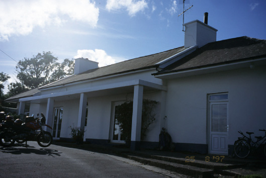 Sandfield Lodgehouse · 1057 yd
 Lahinch BeachBeach / strand · 1513 yd
 Liscannor Fort (Site of)Fairy fort / earthen ringfort · 1535 yd
 Dough CastleRuins · 1552 yd
 John P. Holland CentreMuseum · 1.1 mi
 Liscannor Castle (in Ruins)Castle, tower house · 1.2 mi
 Bridget's Well;St Bridget's WellSpring · 2.2 mi
 Kilmanahn GraveyardRuins · 2.2 mi
 Famine MemorialMemorial · 2.4 mi
 Cliffs of Moher Visitor CentreVisitor information · 2.9 mi
Other information
Photo: Credit not shown in the picture search · Rights wording not checked; contact us if this picture should be removed