
More pictures of this place

What is recorded here
Triple-arch cut-stone stone road bridge over estuary of river Inagh, dated 1836, with voussoirs, single and paired pilasters and V-cutwaters.
The story behind this place
Triple-arch cut-stone stone road bridge over estuary of river Inagh, dated 1836, with voussoirs, single and paired pilasters and V-cutwaters.
From the Buildings of Ireland (National Inventory of Architectural Heritage) record 20401503
This does not grant access. Most recorded buildings are privately owned; view them only from public ground unless the owner allows entry.
Places near here
 Dough CastleRuins · 277 yd
 Lahinch BeachBeach / strand · 1211 yd
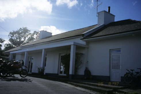 Sandfield LodgeHouse · 1287 yd
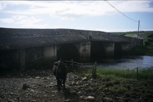 New BridgeBridge · 1.1 mi
 Famine MemorialMemorial · 1.7 mi
 Liscannor Castle (in Ruins)Castle, tower house · 1.9 mi
 St Bridgets WellHoly well · 2.9 mi
 Bridget's Well;St Bridget's WellSpring · 2.9 mi
 O’Briens MonumentMonument · 2.9 mi
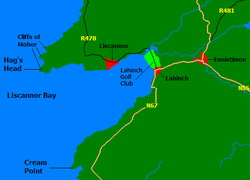 Liscannor BayBay · 3.5 mi
 Cliffs of Moher Visitor CentreVisitor information · 3.5 mi
 O'Brien's TowerHeritage attraction · 3.7 mi
Pictures: Bob Jones, Wikimedia Commons · CC BY-SA 2.0; nick macneill, Geograph · CC BY-SA 2.0; National Inventory of Architectural Heritage; Joseph Mischyshyn, Geograph · CC BY-SA 2.0; Roger Diel, Geograph · CC BY-SA 2.0; Liscannorman, Wikimedia Commons · CC BY-SA 3.0; John M, Geograph · CC BY-SA 2.0; WikiDon at English Wikipedia, Wikimedia Commons · CC BY-SA 3.0; Frabjousone, Wikimedia Commons · CC BY-SA 4.0
More historic places in County Clare · All of County Clare
What do you know about this place?