
What is recorded here
The River Nore flows roughly N-S c. 100m to the W. An enclosure (KK028-002----) lies c. 100m to the ESE and another (KK028-003----) lies c. 330m to the SE. Indicated on the 1st (1839) ed. OS 6-inch sheet as an oval enclosure (overall dims. c. 75m NW-SE; c. 56m NE-SW) defined by a bank and external fosse, the latter is depicted as being waterlogged from SW-NNE. A townland boundary runs WNW-ESE through the northern portion of the monument and a field boundary runs roughly N-S through the N sector, joining the townland boundary. The sector E of this field boundary and N of the townland boundary is not depicted on the 1st ed. OS 6-inch map, suggesting it may have been levelled by 1839. On the 1948-9 revision of the OS 6-inch map the monument is not indicated, however, a 180ft (c. 55m) contour, indicating the top of a hill, follows the outline of the enclosure. On satellite imagery (Digitalglobe 2011-2013) the S perimeter of the enclosure is visible as scarp.
Compiled by: Jean Farrelly
The monument record does not grant public access. Check the route and ask the landowner before entering private land.
- What survives
- Recorded monument
Places near here
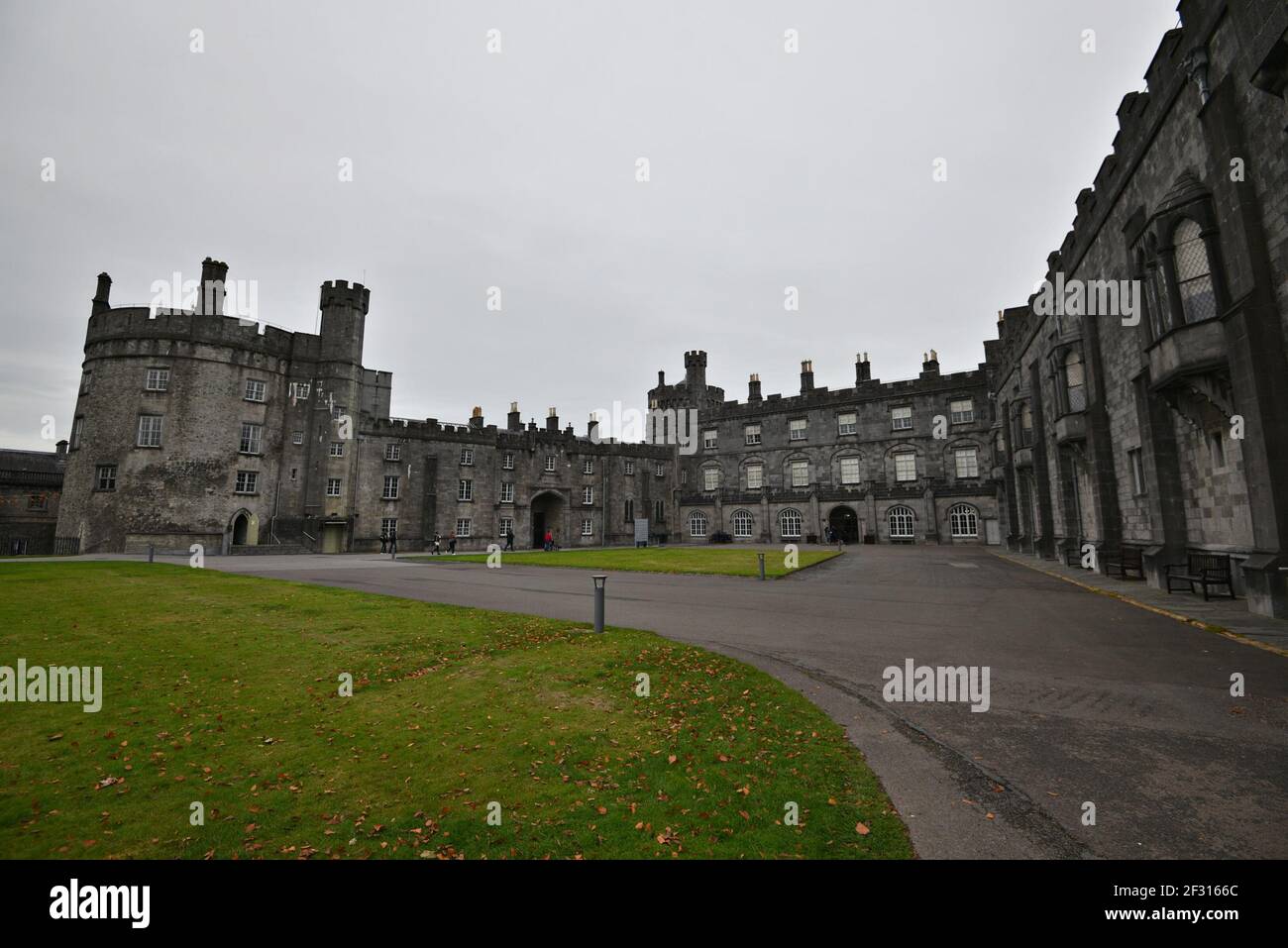 IndicatedEnclosure · 194 yd
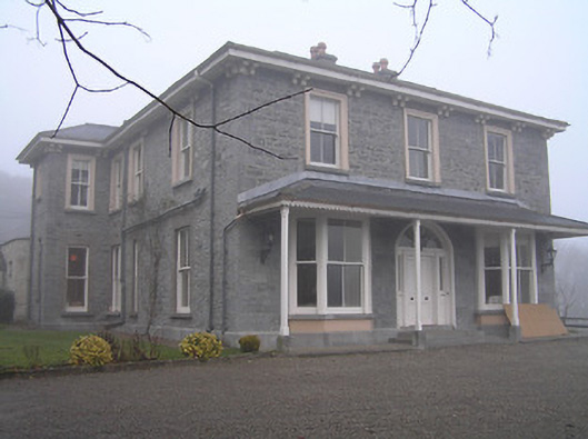 Crohana Housecountry house · 587 yd
 ‘(Site of) Killarney Church’Church · 1066 yd
 Annamult Housecountry house · 1147 yd
 Annamult Castle (in ruins)Castle, tower house · 1643 yd
 Tower (in ruins)Bawn · 1685 yd
 MarlowWood · 1.3 mi
 Welsh'sForest · 1.5 mi
 Kilbline GraveyardArchaeological place · 1.9 mi
 Site of Village Well 1810-1950Memorial · 2.2 mi
 Tullaherin Church and Round TowerVisitor information · 2.9 mi
 Kells Augustinian PrioryHeritage attraction · 3.6 mi
Other information
Photo: Credit not shown in the picture search · Rights wording not checked; contact us if this picture should be removed