What is recorded here
Kings River ringfort data recovered. Regional database check needed.
The Kings River flows E-W c. 150m to the S. A roughly oval enclosure (dims. c. 57m NE-SW; c. 48m NW-SE) indicated on the 1st (1839) ed. OS 6-inch map and subsequent revisions. There are trees growing around the perimeter.
Compiled by: Jean Farrelly
Date of upload: 27 March 2023
The monument record does not grant public access. Check the route and ask the landowner before entering private land.
- What survives
- Recorded monument
Places near here
 The Factorymill (water) · 521 yd
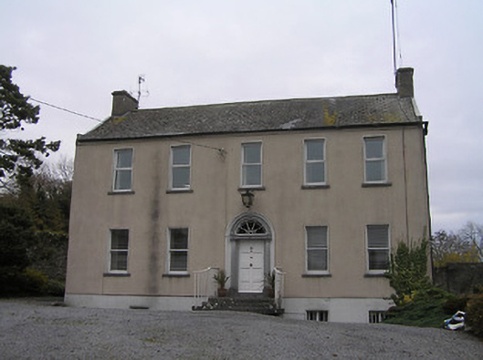 Ennisnag Housemiller's house · 528 yd
 TobermogueHoly well · 958 yd
 Enclosure in AnnamultEnclosure · 1130 yd
 Coortaur Castle (in ruins)Castle, unclassified · 1211 yd
 Petty Sessions Courthouse 1839Memorial · 1631 yd
 RIC BarracksMemorial · 1645 yd
 Annamult Castle (in ruins)Castle, tower house · 1.4 mi
 Cats WoodWood · 1.6 mi
 Welsh'sForest · 1.7 mi
 Ballyda Holy WellSpring · 1.9 mi
 Kells Augustinian PrioryHeritage attraction · 2.2 mi