What is recorded here
In gently undulating terrain. There is an enclosure (KK028-007----) c. 150m to the E. A roughly circular enclosure (overall diam. c. 42m N-S; c. 46m E-W; int. diam. c. 16m) indicated on the 1st (1839) ed. OS 6-inch map and 1948-9 revision. The enclosure was defined by an earthen bank (Wth c. 1-2m) and external fosse (Wth c. 3m) (Prendergast, unpublished NMI report, April 1962). Known locally as, ‘the rath’, the monument was levelled in 1961, during which time a Man-made underground passage (KK028-006002-) was uncovered. The Man-made underground passage occupies the E sector of the enclosure, running roughly ENE-WSW from beneath the internal face of the bank to the interior.
Compiled by: Jean Farrelly
The monument record does not grant public access. Check the route and ask the landowner before entering private land.
- What survives
- Recorded monument
Places near here
 Enclosure in Newhouse (gowran By., Woolengrange Ed)Enclosure · 202 yd
 Enclosure in KillarneyEnclosure · 623 yd
 Newhouse Bridgebridge · 1025 yd
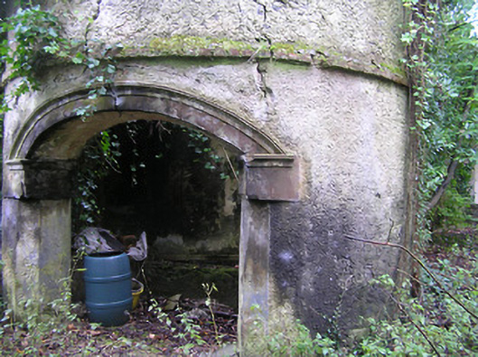 Summerhill Housedovecote/pigeon house/aviary · 1.0 mi
 Kilbline GraveyardArchaeological place · 1.3 mi
 Kilbline CastleCastle, tower house · 1.4 mi
 Bawn in LeganBawn · 1.5 mi
 MarlowWood · 1.7 mi
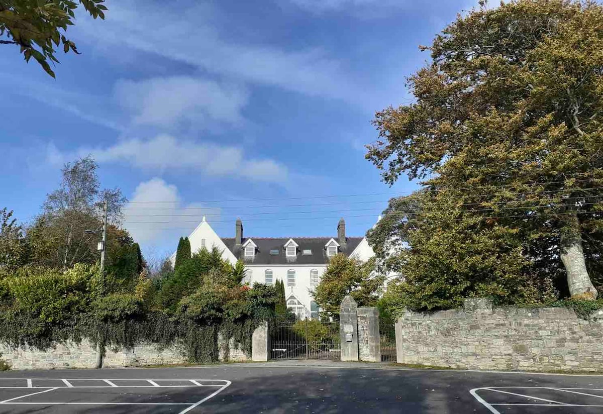 Thomastown QuarryNature reserve · 1.7 mi
 Stroan FountainVisitor information · 1.8 mi
 Tullaherin Church and Round TowerVisitor information · 2.1 mi
 John Patrick KennedyMemorial · 2.2 mi