
What is recorded here
In pasture. Indicated as a sub-circular enclosure (overall diam. c. 36m N-S; c. 41m E-W) on the 1st (1839) ed. OS 6-inch map and 1948-9 revision. There is a ringfort (KK028-006001-) with a Man-made underground passage (KK028-006002-) c. 150m to the W. The interior is grass-covered, with trees growing around the perimeter (satellite imagery Digitalglobe 2011-2013).
Compiled by: Jean Farrelly
The monument record does not grant public access. Check the route and ask the landowner before entering private land.
- What survives
- Recorded monument
Places near here
 Enclosure in KillarneyEnclosure · 761 yd
 ‘(Site of) Killarney Church’Church · 885 yd
 Newhouse Bridgebridge · 933 yd
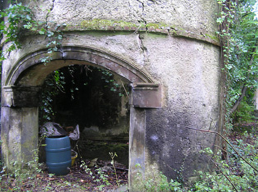 Summerhill Housedovecote/pigeon house/aviary · 1638 yd
 Kilbline GraveyardArchaeological place · 1.3 mi
 Kilbline CastleCastle, tower house · 1.3 mi
 Bawn in LeganBawn · 1.5 mi
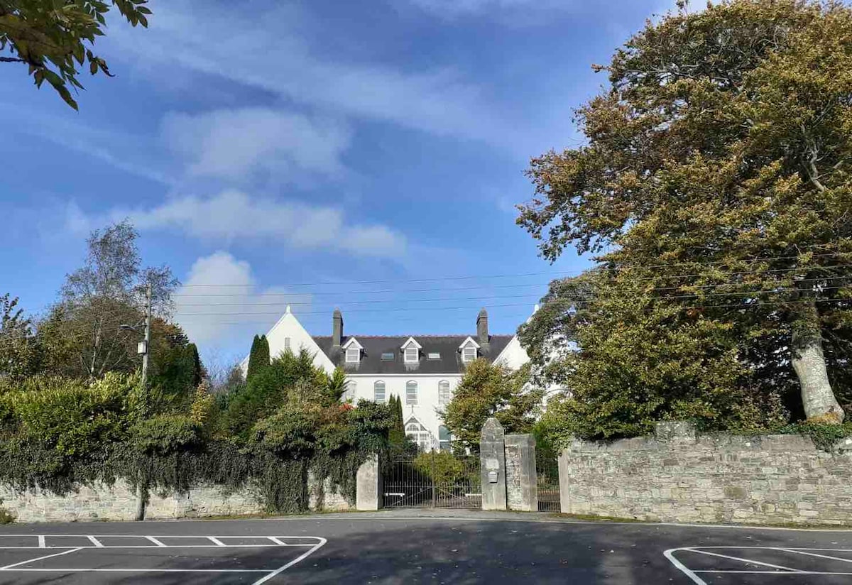 Thomastown QuarryNature reserve · 1.7 mi
 Stroan FountainVisitor information · 1.7 mi
 MarlowWood · 1.8 mi
 Tullaherin Church and Round TowerVisitor information · 2.0 mi
 John Patrick KennedyMemorial · 2.1 mi
Other information
Photo: Credit not shown in the picture search · Rights wording not checked; contact us if this picture should be removed