What is recorded here
Located towards the bottom of the NE-facing slope of a drumlin. It is depicted as an oval enclosure with trees on the perimeter and described as a 'fort' on the 1835 edition of the OS 6-inch map. This is a grass and scrub-covered subcircular platform (dims 27m E-W; 23m N-S) defined by a slight scarp (H 0.3-0.4m), with traces of a bank (Wth 1.5m; H 0.1-0.3m) at E and traces of a stone wall (Wth 1m; H 0.2m) at W. It is planted with mature deciduous trees around the perimeter and is a possible tree-ring c. 100m SE of Kilrush House, a large farmhouse. Moore (Dublin: Stationery Office, 2003).
Located towards the bottom of the NE-facing slope of a drumlin. It is depicted as an oval enclosure with trees on the perimeter and described as a 'fort' on the 1835 edition of the OS 6-inch map. This is a grass and scrub-covered subcircular platform (dims 27m E-W; 23m N-S) defined by a slight scarp (H 0.3-0.4m), with traces of a bank (Wth 1.5m; H 0.1-0.3m) at E and traces of a stone wall (Wth 1m; H 0.2m) at W.…
From the National Monuments Service (Archaeological Survey of Ireland) record LE025-045
The monument record does not grant public access. Check the route and ask the landowner before entering private land.
- What survives
- Recorded monument
Places near here
Photo credits
- National Inventory of Architectural Heritage
- Oliver Dixon, Geograph · Creative Commons Attribution-ShareAlike 2.0
- Kenraiz, Wikimedia Commons · CC BY-SA 3.0
- Kenneth Allen, Wikimedia Commons · Creative Commons Attribution-ShareAlike 2.0
- Fifiheavey, Wikimedia Commons · CC BY-SA 4.0
- Alvesgaspar, Wikimedia Commons · CC BY-SA 3.0
- Kenneth Allen, Geograph · CC BY-SA 2.0
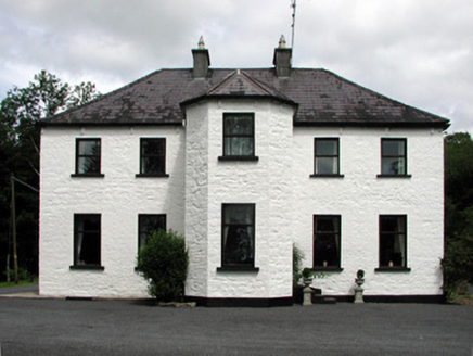 Corduff HouseHouse · 1.0 mi
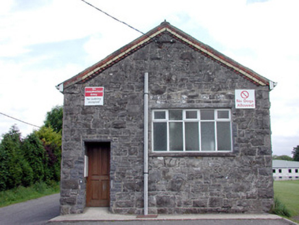 Saint Felim's CollegeStore/warehouse · 1.5 miSwan Island pet farmHeritage attraction · 2.1 mi
 IndicatedGraveyard · 2.4 miBawn in Cherry IslandBawn · 2.4 miCherry IslandIslet · 2.4 miDrumgownaghMountain / peak · 2.5 mi
 Black Poplar2.9 mi
 IndicatedCastle, tower house · 3.3 mi
 Graveyard4.1 mi
 Common Lime4.2 mi
 Killycluggin StoneVisitor information · 5.5 mi
More archaeology and monuments in County Leitrim · All of County Leitrim
What do you know about this place?