What is recorded here
In level pasture. Remains of sub-circular area (dims. 27m NW-SE; 30m E-W) defined by slight trace of in-filled fosse (min. Wth 2m; D 0.2m) wider (max. Wth 6m) to N. Linear depression (long-axis E-W) truncates exterior at S. Slight depression within interior. Enclosure (TS070-092----) located 150m to SSE. Cahill (1982) describes this monument as levelled.
Compiled by: Jean Farrelly
Date of upload: 26 August 2011
The monument record does not grant public access. Check the route and ask the landowner before entering private land.
- What survives
- Recorded monument
Places near here
 Enclosure in Jossestown,killerk NorthEnclosure · 168 yd
 (Site of) Killerk CastleCastle, unclassified · 349 yd
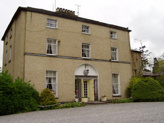 Clonacody Housecountry house · 1018 yd
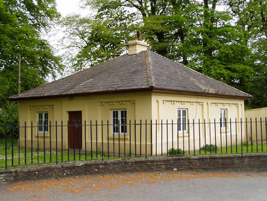 Lakefieldgate lodge · 1119 yd
 Pedunculate OakPedunculate Oak · 1380 yd
 Rathdrum Castle (in ruins)Castle, tower house · 1481 yd
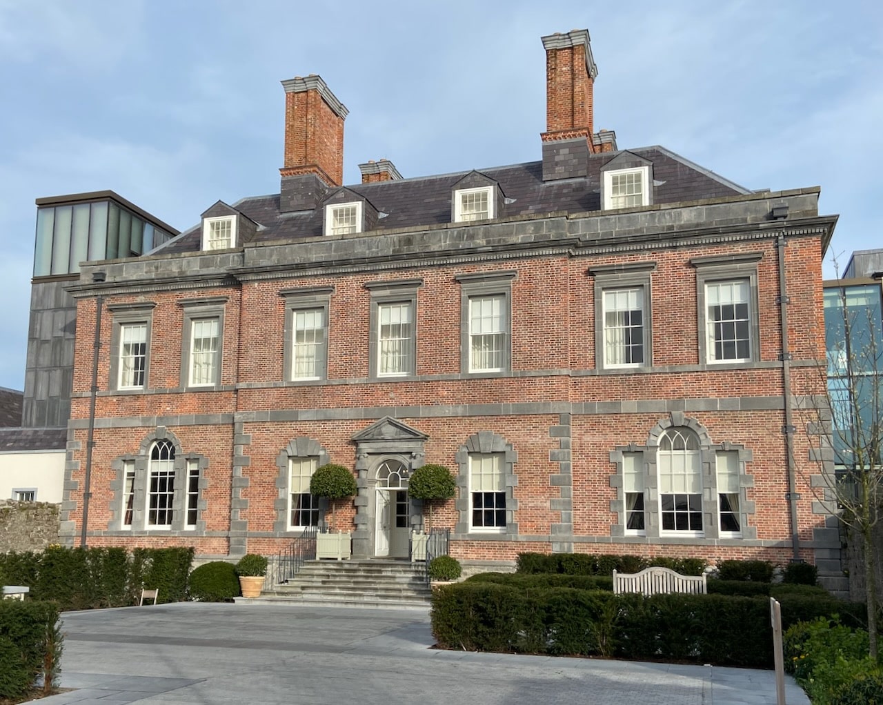 Enclosure in RedcityEnclosure · 1593 yd
 Grove WoodForest · 1.3 mi
 East GateMemorial · 1.9 mi
 Kilknockan HillMountain / peak · 3.0 mi
 CarrigdotiaMountain / peak · 4.7 mi
 Newtown Househouse · 1177 yd