DDiscover AloneMapAbout

Enclosure in Killanully

Enclosure
Computer-made picture that does not show Enclosure in KillanullyNot a photo of this monument
Computer-made picture. It does not show this monument. · Report the wrong picture

What is recorded here

In pasture, N of Owenboy river, on S-facing slope. Situated some 25m NE of a circular enclosure (CO086-048----) this monument was excavated (License No. 92E0104) in advance of quarrying. A summary report of the excavations by C. Mount (http://www.excavations.ie/report/1992/Cork/0001222/) describes the results as…

Read the whole record
In pasture, N of Owenboy river, on S-facing slope. Situated some 25m NE of a circular enclosure (CO086-048----) this monument was excavated (License No. 92E0104) in advance of quarrying. A summary report of the excavations by C. Mount (http://www.excavations.ie/report/1992/Cork/0001222/) describes the results as follows: 'It was a rectangular banked and ditched enclosure which measured internally 19.5m east-west by 14m north-south and was contiguous to a field boundary on its eastern side. The bank and ditch were sectioned and the bank, which measured 3m in width and 0.6m in maximum height, was found to consist of 2 layers containing a small quantity of animal bone built on the old ground surface. The ditch consisted of a shallow U-shaped cut 2m in width at the top and up to 0.5m in depth. It contained 2 layers of fill. Where it met the field boundary it was found to end at a solid vertical face of bed-rock which was stratified under the old ground surface and the stone and earthen field boundary. Therefore the enclosure post-dates the construction of the field boundary. The interior of the site was found to contain no features of any kind. It consisted of a layer of brown almost stone-free loam to a depth of 0.6m and appeared to be a cultivation horizon. The finds from the site consisted mainly of post-medieval pottery and parts of clay pipes so that the site would appear to date to the 18th century or later.' (Mount 1992; Power 1994, no. 5407) Updated by: Paul Walsh Date of upload: 13 August 2015

From the National Monuments Service (Archaeological Survey of Ireland) record CO086-047

The monument record does not grant public access. Check the route and ask the landowner before entering private land.

What do you know about this place?Tap to add a comment or ask a question

What you write will be public.

Places near here

Photo credits
  • National Inventory of Architectural Heritage
  • Barryroe GAA club archive; individual photographer not named, www.barryroegaa.ie
  • Mike Searle, Geograph · CC BY-SA 2.0
  • Rogue29567, Wikimedia Commons · CC BY-SA 4.0
  • H., Wikimedia Commons · Public domain
  • John Allen / The Carrigdhoun, www.carrigdhoun.com
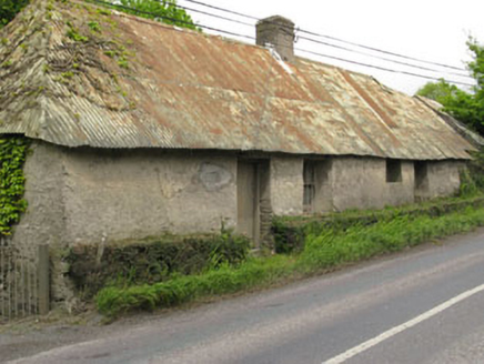
Historic buildingOfficially recorded historic building · 296 yd

Explorer Tom Historic building in Killanully is a vacant vernacular house from around 1790 with a corrugated-iron roof that was…
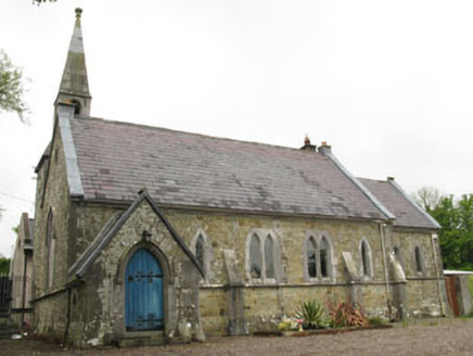
church/chapel454 yd

Explorer Tom The Church in Killanully is pretending to be a house now, but it’s still wearing its Victorian polychrome makeup from…
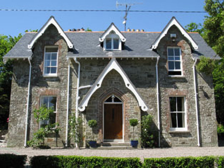
rectory/glebe/vicarage/curate's house511 yd

Explorer Tom Rectory in Killanully is showing off its Victorian brick and timber details. Built around 1865, it’s got a nice porch…
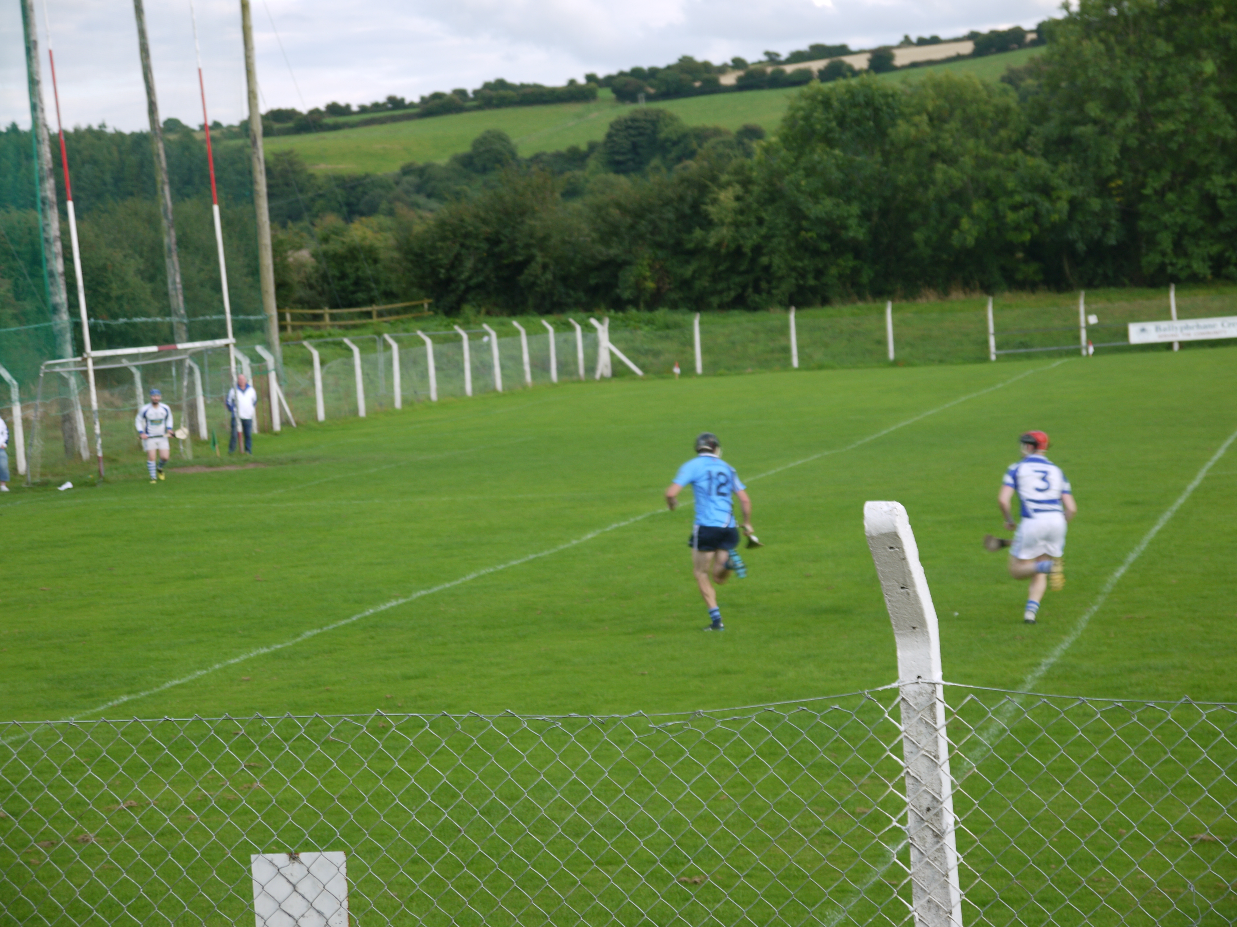
Páirc Liam Mhic Cárthaigh, BallygarvanGAA ground · 708 ydChurch of the Holy Mary Mother of GodOutbuilding · 1371 yd

Explorer Tom Church of the Holy Mary Mother of God is an outbuilding, which is a weird title for something holy. I bet two lads in…

Ballea CastleCastle, tower house · 1.1 mi

Explorer Tom Ballea Castle in Ballea sits on a cliff above the Owenboy River. The FitzGeralds built it back in 1439, and it’s been…

Ballea Bridge (Upper)Bridge · 1.1 mi

Explorer Tom Ballea Bridge (Upper) has a family tree mostly made up of bridges that don’t exist. It fits seamlessly into the…

Ballea Bridge (Lower)Bridge · 1.3 mi

Explorer Tom Ballea Bridge (Lower) blends into the landscape so well that even the rabbits think it's just a fancy rock they can nap…
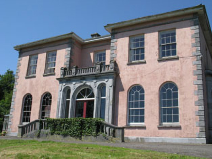
RavenswoodHouse · 1.4 mi

Explorer Tom Ravenswood in Carrigaline West was rebuilt by a Colonel who clearly loved decorative limestone. The raven hasn’t flown…
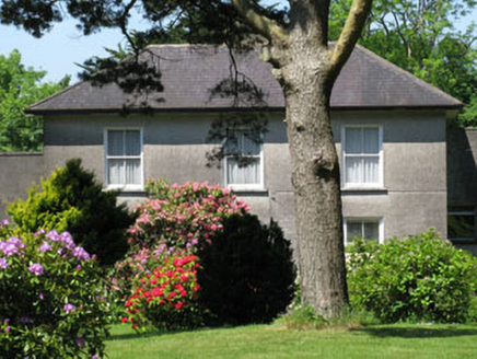
Knockmore HouseHouse · 1.7 mi

Explorer Tom Knockmore House in Knockmore has a retirement plan involving moving to a field and becoming a very dignified…

Carrigaline Castle (in Ruins)Castle, Anglo-Norman masonry castle · 3.3 mi

Explorer Tom Carrigaline Castle in Carrigaline East is hiding behind a lot of ivy and quarried stone. Only half the tower is really…

Ballymartle GAA pitchGAA ground · 4.0 mi

More archaeology and monuments in County Cork · All of County Cork

Add to this placeAdd a picture Add a detailed tip Add a story

Explore the map1,095,414 places to discover

Next place · or swipeHistoric building