What is recorded here
Visible on an aerial photograph (GB89.AG.20) as a cropmark of a complex curvilinear enclosure with an associated rectilinear field system to the NW (KD037-038002). The enclosure is defined by two widely spaced fosses, with an entrance facing W. A further trapezoidal enclosure (KD037-038003-) defined by a broad fosse appears superimposed on the original enclosure at the S.
Visible on an aerial photograph (GB89.AG.20) as a cropmark of a complex curvilinear enclosure with an associated rectilinear field system to the NW (KD037-038002). The enclosure is defined by two widely spaced fosses, with an entrance facing W. A further trapezoidal enclosure (KD037-038003-) defined by a broad fosse appears superimposed on the original enclosure at the S.
From the National Monuments Service (Archaeological Survey of Ireland) record KD037-038001
The monument record does not grant public access. Check the route and ask the landowner before entering private land.
- What survives
- Recorded monument
Places near here
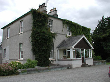 Kilkea HouseFarm house · 317 yd
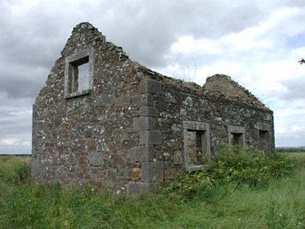 worker's house632 ydLorcán Ó TuathailMemorial · 797 yd
 Kilkea CastleCastle, tower house · 1214 yd
 Castledermot Round TowerHeritage attraction · 2.7 mi
 TombTomb, hogback · 2.7 mi
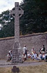 CrossCross, High cross · 4.1 mi
 European ash4.2 mi
 European Larch4.5 mi
 Town HallMuseum · 5.6 mi
 Ernest ShackletonMemorial · 5.6 mi
 Whites [sic] Castle, Police BarrackCastle, tower house · 5.7 mi
Pictures: National Inventory of Architectural Heritage; dougf, Geograph · CC BY-SA 2.0; Andreas F. Borchert, Wikimedia Commons · CC BY-SA 4.0; Gerd Eichmann, Wikimedia Commons · CC BY-SA 4.0; Willow, Wikimedia Commons · CC BY 2.5; Sciadopitys from UK, Wikimedia Commons · CC BY-SA 2.0; Mgtmquinn, Wikimedia Commons · CC BY-SA 4.0; Andrewmc, Wikimedia Commons · CC0
More archaeology and monuments in County Kildare · All of County Kildare
What do you know about this place?