What is recorded here
In pasture on N facing slope. Roughly circular area (71m N-S; 60m E-W) enclosed by earthen bank (Wth 2m; int. H 0.8m; ext. H 2m) with external fosse (Wth 1.5m; D 0.5m). Field fence intersects site at S. The site has an overall diameter of 84m N-S by 76m E-W. No entrance feature was identified.
The above description is derived from the published 'Archaeological Inventory of County Offaly' (Dublin: Stationery Office, 1997). In certain instances the entries have been revised and updated in the light of recent research.
Date of upload: 23 May 2011
The monument record does not grant public access. Check the route and ask the landowner before entering private land.
- What survives
- Recorded monument
Places near here
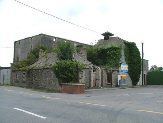 Park Millsmill (water) · 660 yd
 Mound in Park (ballyboy By.)Mound · 680 yd
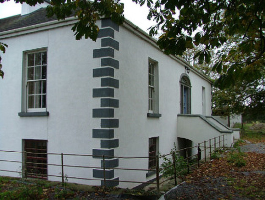 Annaghvillacountry house · 751 yd
 Churchyard in FrankfordChurchyard · 998 yd
 Graveyard in Ballyboy (ballyboy By.)Graveyard · 1120 yd
 MoatCastle, motte and bailey · 1378 yd
 Arthur's WellSpring · 1493 yd
 Knockhill GroveWood · 1.3 mi
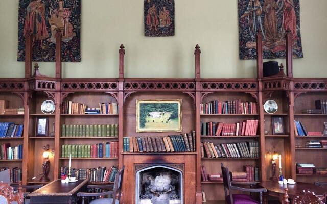 Broughal CastleCastle, unclassified · 1.9 mi
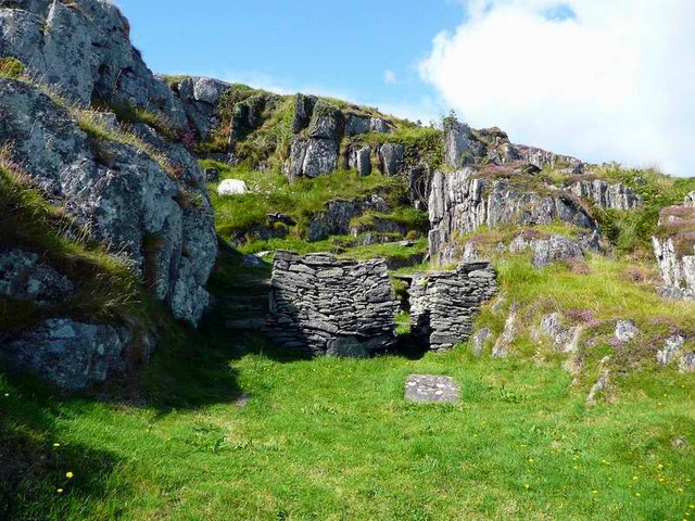 Saint Cormac's WellSpring · 1.9 mi
 Beach ClumpWood · 1.9 mi
 Troy's Island or DerryheeraghMountain / peak · 2.4 mi