
What is recorded here
Cropmark of circular-shaped enclosure (approx. diam. 21m) visible on Google earth aerial imagery.
See attached image taken from Google Earth aerial photographs taken 28/06/2018.
Compiled by: Caimin O'Brien based on details kindly provided by Seán Sourke.
Date of upload: 06 March 2019
A local fairy fort (ringfort/rath); wider significance not recorded.
The monument record does not grant public access. Check the route and ask the landowner before entering private land.
- What survives
- Recorded monument
Places near here
 Hartwell CastleCastle, unclassified · 738 yd
 Kill MoatCastle, motte and bailey · 818 yd
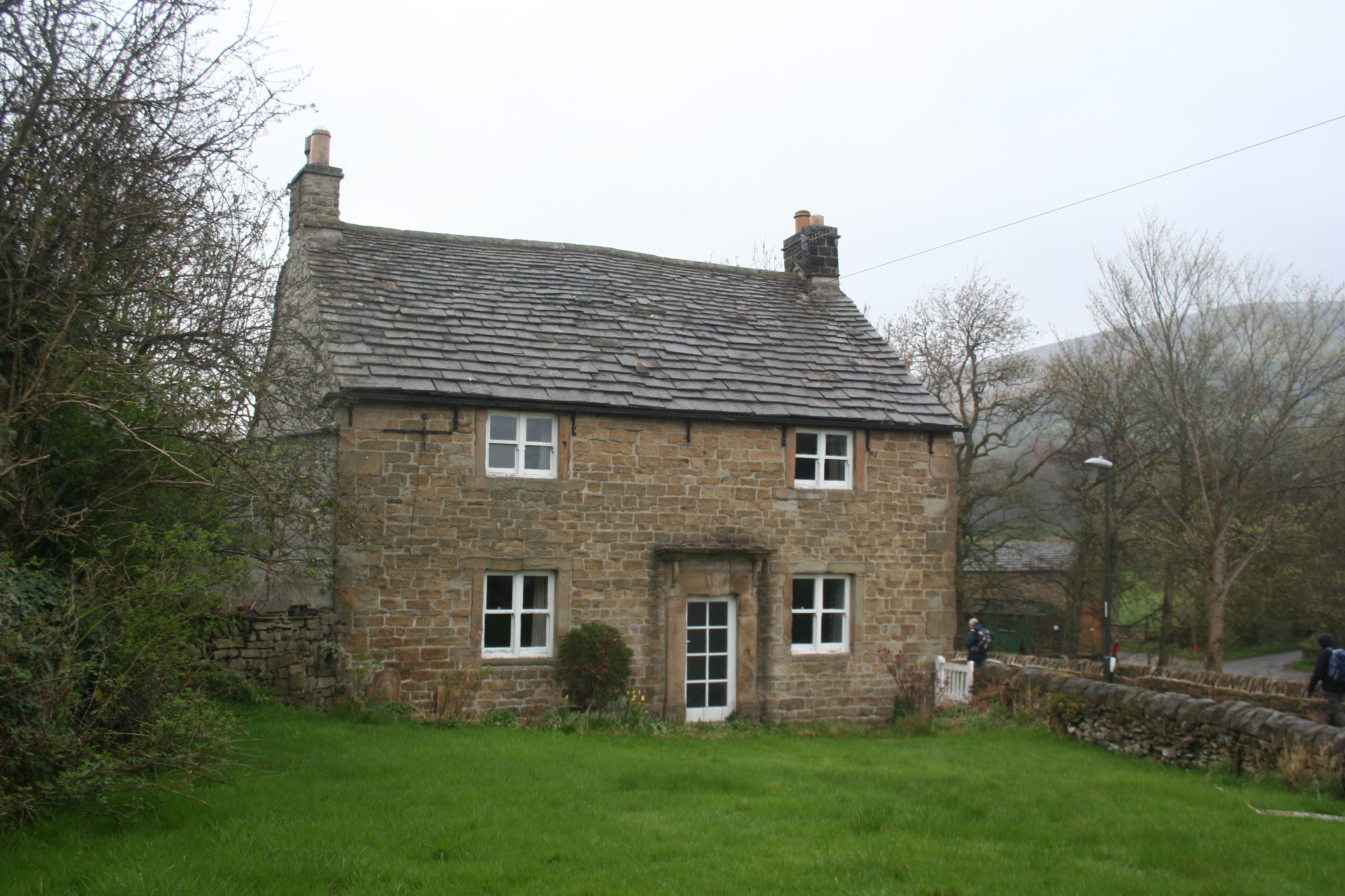 Enclosure in KillhillEnclosure · 894 yd
 Ecclesiastical site in Kill WestEcclesiastical site · 908 yd
 Saint John's Church (Kill)church/chapel · 919 yd
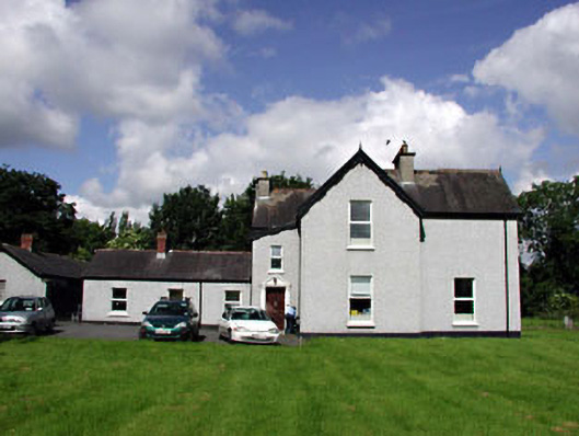 Marsville Househouse · 1004 yd
 European YewEuropean Yew · 1.2 mi
 McCullagh's WoodWood · 1.3 mi
 Cupidstown HillMountain / peak · 4.1 mi
 Athgoe HillMountain / peak · 4.6 mi
 Saint Finian's WellSpring · 5.1 mi
 The Square RenewalMemorial · 5.4 mi
Other information
Photo: Credit not shown in the picture search · Rights wording not checked; contact us if this picture should be removed