
What is recorded here
In pasture, 150m SSW of a townland boundary with Ballynagallagh. Not depicted on OSi historic maps. Identified as a ‘potential site’ on aerial photo (GSIAP R448). Levelled monument is not visible on OSi orthoimages taken 2005-2012, on Digital Globe orthoimages taken 2011-2013 or on Google Earth orthoimage taken 20/03/2018.
See attached Google Earth orthoimage
Compiled by: Alison McQueen and Vera Rahilly
Date of upload: 8 November 2020
The monument record does not grant public access. Check the route and ask the landowner before entering private land.
- What survives
- Recorded monument
Places near here
 Giants GraveMegalithic structure · 472 yd
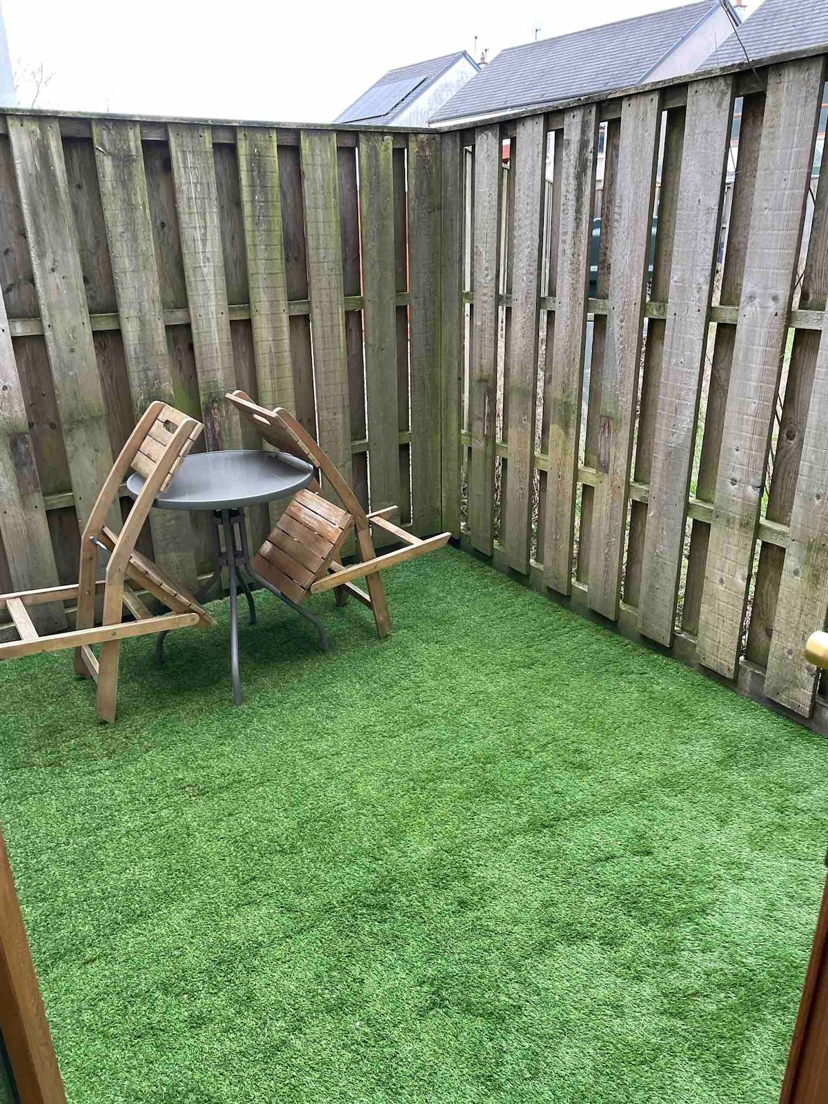 Habitation site in GrillaghHabitation site · 790 yd
 Ballynagallagh Cottagehouse · 1393 yd
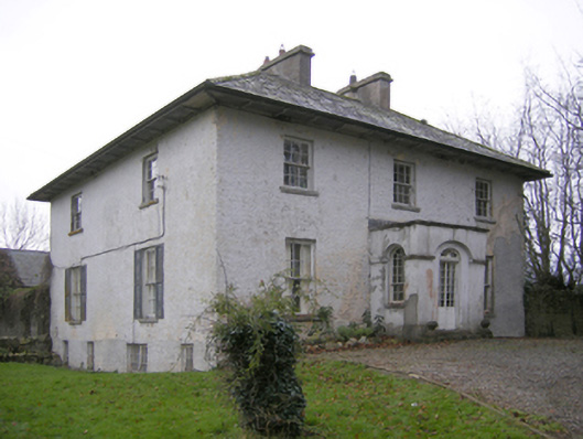 Glebe Houserectory/glebe/vicarage/curate's house · 1543 yd
 (Site of) Tullabracky CastleCastle, unclassified · 1647 yd
 Glen BogForest · 1.2 mi
 Castle (in ruins)Castle, unclassified · 1.4 mi
 Grange Stone CircleArchaeological place · 1.6 mi
 Lough GurVisitor information · 1.6 mi
 Pedunculate OakPedunculate Oak · 2.0 mi
 KnockainyMountain / peak · 2.6 mi
 Flat cemetery in Knockainy WestFlat cemetery · 3.6 mi
Other information
Photo: Credit not shown in the picture search · Rights wording not checked; contact us if this picture should be removed