
What is recorded here
In tillage. Visible on Bing Maps Aerial view (pers. comm. P. Reid) as the cropmark of a small circular area (est. diam. c. 15m) enclosed by a back-filled fosse.
Compiled by: Gearóid Conroy
Date of upload: 12 November 2014
A local fairy fort (ringfort/rath); wider significance not recorded.
The monument record does not grant public access. Check the route and ask the landowner before entering private land.
- What survives
- Recorded monument
Places near here
 Enclosure in BallynagussaunEnclosure · 320 yd
 Enclosure in Castlefarm (fontstown Ed)Enclosure · 427 yd
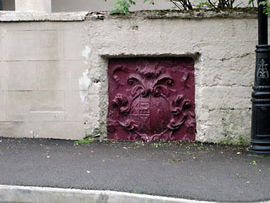 monumentmonument · 1305 yd
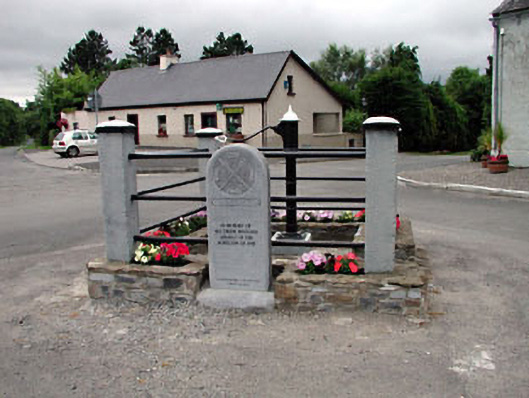 water pumpwater pump · 1333 yd
 Battle of Kilrushbattle · 1476 yd
 CastleCastle, unclassified · 1.3 mi
 Narraghmore WoodWood · 1.4 mi
 Blackhall CastleCastle, tower house · 1.6 mi
 Narraghmore Nature ReserveForest · 1.8 mi
 Gorden Bennet Race memorialMemorial · 3.6 mi
 History of Moat of ArdscullVisitor information · 3.6 mi
 Burtown House and GardensHeritage attraction · 4.2 mi
Other information
Photo: Credit not shown in the picture search · Rights wording not checked; contact us if this picture should be removed