
What is recorded here
In grassland atop NW-SE ridge in upland region with good extensive views in all directions. Enclosure consists of a levelled enclosure the remains of which are barely visible as a low rise of ground at N and S which represents the levelled bank which was intersected at SW by an outhouse. No other features visible. Depicted on the 1903 six inch OS 6-inch map as a large circular enclosure (approx. overall diam. 60m N-S; 70m E-W).
Compiled by: Jean Farrelly
Date of upload: 26 August 2011
A local fairy fort (ringfort/rath); wider significance not recorded.
The monument record does not grant public access. Check the route and ask the landowner before entering private land.
- What survives
- Recorded monument
Places near here
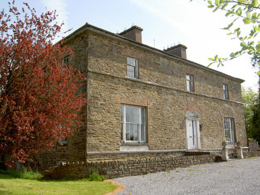 The Gleberectory/glebe/vicarage/curate's house · 573 yd
 Site of ChurchChurch · 686 yd
 Site of CastleCastle, unclassified · 845 yd
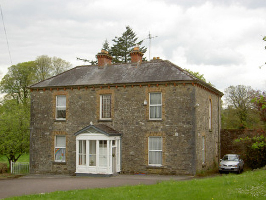 presbytery/parochial/curate's housepresbytery/parochial/curate's house · 944 yd
 Ballingarry Castle (ruins)Archaeological place · 1036 yd
 RathroeArchaeological place · 1.1 mi
 Top Field at Carey'sForest · 2.4 mi
 Second Field on the HillForest · 2.6 mi
 Warhouse HillMountain / peak · 2.8 mi
 Bregaun HillMountain / peak · 4.1 mi
 Slieveardagh Heritage CentreVisitor information · 5.0 mi
 Derrynaflan TrailHeritage attraction · 6.5 mi
Other information
Photo: Credit not shown in the picture search · Rights wording not checked; contact us if this picture should be removed