What is recorded here
Situated on a gentle SE-facing slope in gently undulating terrain. A large D-shaped area (dims. 79m N-S; 72.5m E-W) enclosed by an earth and stone bank (Wth 2.8m; int. H 0.63m; ext. H 1.44m). The SE side is almost straight although on the 1st ed. (1843) OS 6-inch map it is depicted as being circular. Evidence of a wide shallow external fosse exists in the SE sector only (Wth 5.8m; D 0.2m). A gap (Wth 3m) in the bank at S may be the original entrance and other gaps are broken through the bank at W and NW. Portion of the bank has been quarried out at NNE. The site is known locally as 'Killahilla' according to a priest at St Patrick's College. Vol. 1 - North Tipperary' compiled by Jean Farrelly and Caimin O'Brien (Dublin: Stationery Office, 2002).
Situated on a gentle SE-facing slope in gently undulating terrain. A large D-shaped area (dims. 79m N-S; 72.5m E-W) enclosed by an earth and stone bank (Wth 2.8m; int. H 0.63m; ext. H 1.44m). The SE side is almost straight although on the 1st ed. (1843) OS 6-inch map it is depicted as being circular. Evidence of a wide shallow external fosse exists in the SE sector only (Wth 5.8m; D 0.2m). A gap (Wth 3m) in the…
From the National Monuments Service (Archaeological Survey of Ireland) record TN041-044
The monument record does not grant public access. Check the route and ask the landowner before entering private land.
- What survives
- Recorded monument
Places near here
Photo credits
- National Inventory of Architectural Heritage
- Lár na Páirce Museum, Wikimedia Commons · CC BY 2.0
- Mike Searle, Geograph · CC BY-SA 2.0
- Mike Searle, Wikimedia Commons · CC BY-SA 2.0
- Willow, Wikimedia Commons · CC BY 2.5
- Steven Brown, Geograph · Creative Commons Attribution-ShareAlike 2.0
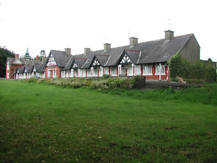 almshouse415 yd
 Mount Saint BenedictHouse · 519 yd
 InnisfailHouse · 532 yd
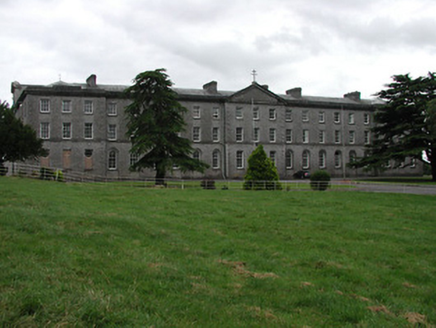 Saint Patrick's CollegeCollege · 694 ydSt. Mary's Famine and War MuseumMuseum · 763 yd
 Lár na PáirceMuseum · 1159 ydTown defences in Thurles TownparksTown defences · 1225 yd
 Black CastleCastle · 1340 yd
 Black CastleCastle, tower house · 1343 yd
 European ash1.1 miEuropean ash2.3 mi
 Grave YardGraveyard · 9.2 mi
More archaeology and monuments in County Tipperary · All of County Tipperary
What do you know about this place?