What is recorded here
Situated on a slight SW-facing slope. The cropmark of a circular enclosure (int. diam. c. 20m) defined by a wide fosse (Wth c. 3-4m) is visible only on Apple Maps (c. 2018). It is not recorded on any other aerial images, and it was first reported by Jean Charles Caillére.
See the attached enhanced view from Apple Maps
Compiled by: Michael Moore
Date of upload: 11 October 2021
The monument record does not grant public access. Check the route and ask the landowner before entering private land.
- What survives
- Recorded monument
Places near here
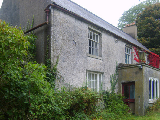 Wilmount Housefarm house · 581 yd
 IndicatedEnclosure · 906 yd
 Not idicatedField system · 1060 yd
 farm housefarm house · 1444 yd
 Embanked enclosureCastle, motte · 1.2 mi
 Eden ValeWood · 1.6 mi
 Ballywish SouthForest · 2.2 mi
 Peace GardenMemorial · 2.3 mi
 1798 MemorialMemorial · 2.5 mi
 Castle (in ruins)Castle, unclassified · 3.0 mi
 Wexford Wildfowl ReserveHeritage attraction · 4.5 mi
 Ballinesker BeachBeach / strand · 4.8 mi