
What is recorded here
Located on a slight W-facing slope in the basin of the River Sow with the N-S stream at the W edge. An area of c. 8 ha contains an enclosure (WX032-052001-) and nine ring-ditches that are visible as cropmarks on aerial photographs (MM (51) 6-15). Also within the area are the cropmarks of a number of field banks from a rectangular field system, not all of which are recorded on OS maps and some of which terminate at the enclosure. The field banks are generally straight and identified as single ditch-features.
Compiled by: Michael Moore
Date of upload: 31 August, 2012
The monument record does not grant public access. Check the route and ask the landowner before entering private land.
- What survives
- Recorded monument
Places near here
 Man-made underground passage in Mill Lands (ballaghkeen By., Edermine Ed)Man-made underground passage · 409 yd
 Embanked enclosureCastle, motte · 1316 yd
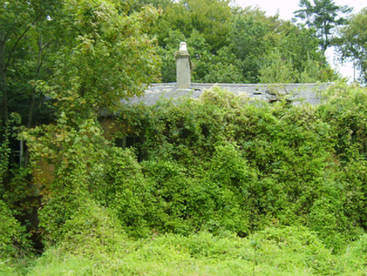 farm housefarm house · 1533 yd
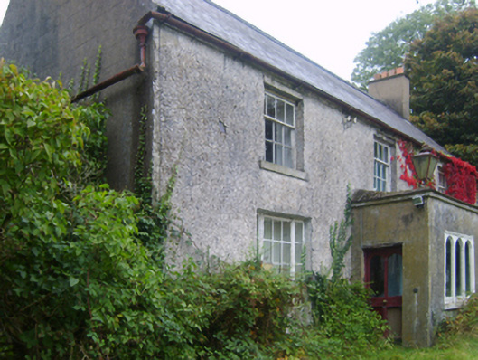 Wilmount Housefarm house · 1641 yd
 ToberakilleenHoly well · 1.1 mi
 Eden ValeWood · 1.5 mi
 Ballywish SouthForest · 2.4 mi
 Peace GardenMemorial · 2.4 mi
 IndicatedCastle, unclassified · 2.4 mi
 1798 MemorialMemorial · 3.1 mi
 Wexford Wildfowl ReserveHeritage attraction · 4.6 mi
 Three Sisters River CruisesHeritage attraction · 5.0 mi
Other information
Photo: Credit not shown in the picture search · Rights wording not checked; contact us if this picture should be removed