
What is recorded here
Situated towards the bottom of a SE-facing slope with the N-S River Sow c. 50m to the S at a point where it turns briefly W. In 1998 ploughing removed a lintel from a short section in the middle of a Man-made underground passage passage (L 3m; Wth 0.7m; H 0.65m) that was blocked at either end.
Compiled by: Michael Moore
Date of upload: 3 September, 2012
The monument record does not grant public access. Check the route and ask the landowner before entering private land.
- What survives
- Recorded monument
Places near here
 Not idicatedField system · 409 yd
 Embanked enclosureCastle, ringwork · 842 yd
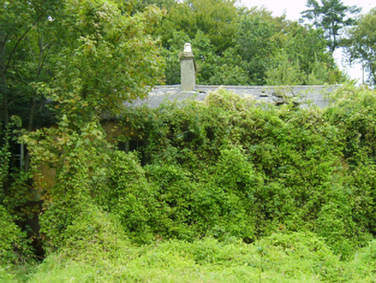 farm housefarm house · 1370 yd
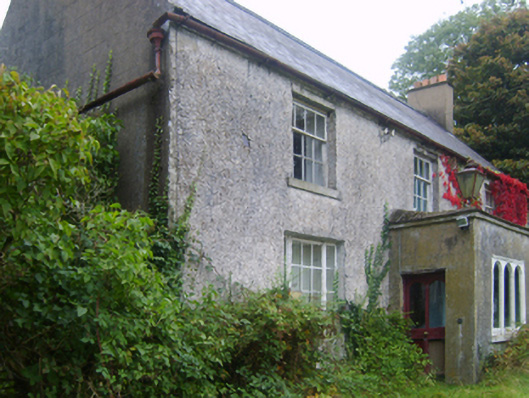 Wilmount Housefarm house · 1.2 mi
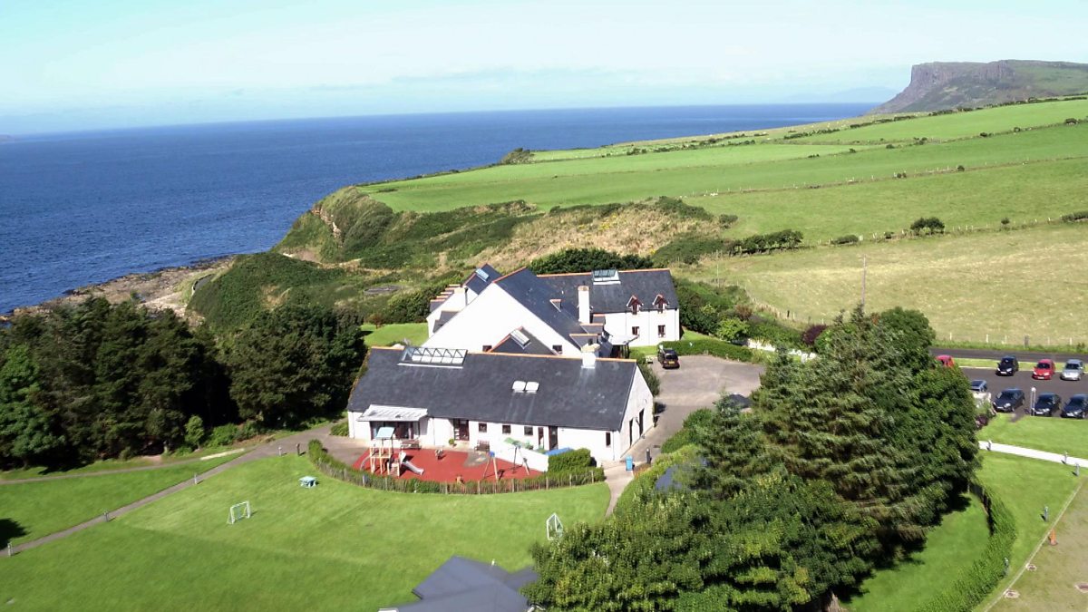 ToberakilleenHoly well · 1.3 mi
 Eden ValeWood · 1.4 mi
 Peace GardenMemorial · 2.4 mi
 Ballywish SouthForest · 2.4 mi
 IndicatedCastle, unclassified · 2.4 mi
 1798 MemorialMemorial · 3.3 mi
 Wexford Wildfowl ReserveHeritage attraction · 4.6 mi
 Three Sisters River CruisesHeritage attraction · 4.9 mi
Other information
Photo: Credit not shown in the picture search · Rights wording not checked; contact us if this picture should be removed