What is recorded here
Low rise of ground with no archaeological features visible at end of N-S ridge in undulating countryside. Natural rise of ground as described by Wheeler (1960) as a placed used for dumping field clearance and subsequently removed during land improvement scheme.
Compiled by: Jean Farrelly and Caimin O'Brien
Date of upload/revision: 22 September 2008
The monument record does not grant public access. Check the route and ask the landowner before entering private land.
- What survives
- Recorded monument
Places near here
 ToberneeboneHoly well · 808 yd
 Enclosure in DrummondEnclosure · 1069 yd
 Tullan CastleCastle · 1518 yd
 Church in Carney, Commons OFChurch · 1711 yd
 Finnoe Schoolschool · 1727 yd
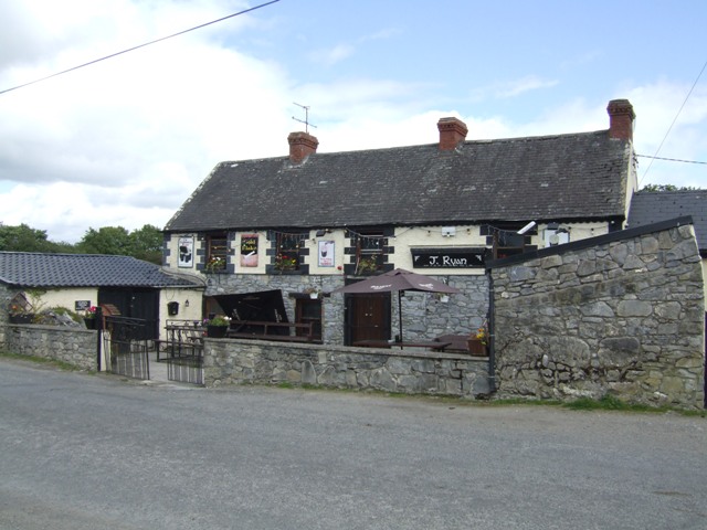 Carney CastleCastle · 1.3 mi
 Carrickboy WoodForest · 1.7 mi
 Knigh HillMountain / peak · 3.4 mi
 Buggane IslandIslet · 3.5 mi
 Borris WoodWood · 3.8 mi
 Keavy IslandIslet · 4.1 mi
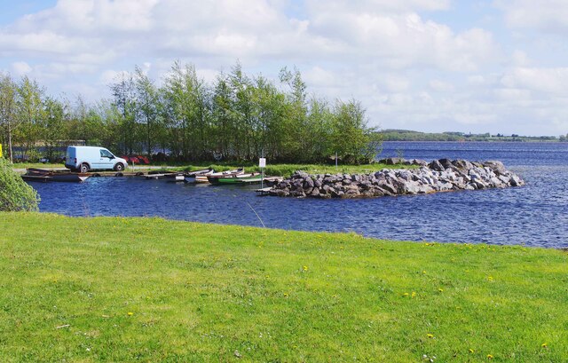 Lough DergNationally known place · 4.2 mi