
What is recorded here
Located on good pasture land beside the Yellow River. No surface remains visible. Potential enclosure site identified as a cropmark from GSI aerial photograph taken in 1973 (GSI N 588/9). Of doubtful antiquity.
Compiled by: Caimin O'Brien.
Date of upload/revision: 19 December 2011
The monument record does not grant public access. Check the route and ask the landowner before entering private land.
- What survives
- Recorded monument
Places near here
 Moat HillMountain / peak · 1080 yd
 Gortnatemple GraveyardBurial ground · 1448 yd
 Fulacht fia in GarrFulacht fia · 1668 yd
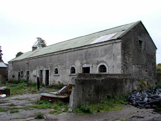 Greenhills Housestables · 1733 yd
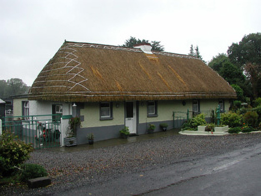 farm housefarm house · 1.3 mi
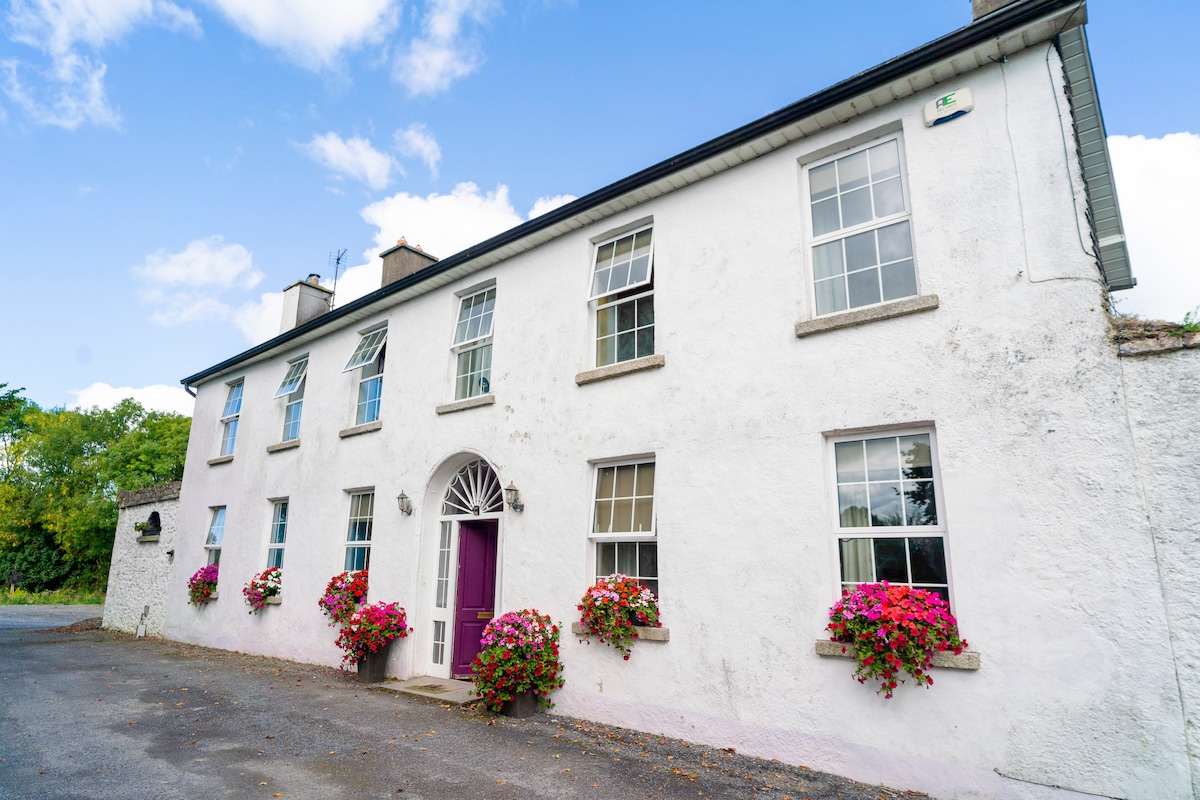 Ballyburly Ho.Castle, unclassified · 1.5 mi
 Knockdrin HillMountain / peak · 1.8 mi
 Bawn in BallyheashillBawn · 2.2 mi
 Holy PlantationForest · 3.1 mi
 Victoria PlantationWood · 3.3 mi
 Croghan HillMountain / peak · 4.6 mi
 Croghan Hill WalkVisitor information · 4.8 mi
Other information
Photo: Credit not shown in the picture search · Rights wording not checked; contact us if this picture should be removed