What is recorded here
Located towards the top of the SW-facing slope of the Hill of Ward. The cropmark of a circular enclosure (diam. c. 50m) defined by a single fosse feature is visible only on Google Earth (14/07/2018). It is situated between woodland to the NW and SE and the perimeter is absent between SE and SSW and very slight at some other points.
See the attached image from Google Earth 14/07/2018
Compiled by: Michael Moore
Date of upload: 5 June 2019
The monument record does not grant public access. Check the route and ask the landowner before entering private land.
- What survives
- Recorded monument
Places near here
 Ceremonial enclosure in TlachtaCeremonial enclosure · 292 yd
 TlachtghaFairy fort / earthen ringfort · 337 yd
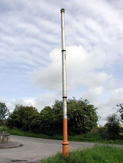 vent pipevent pipe · 1477 yd
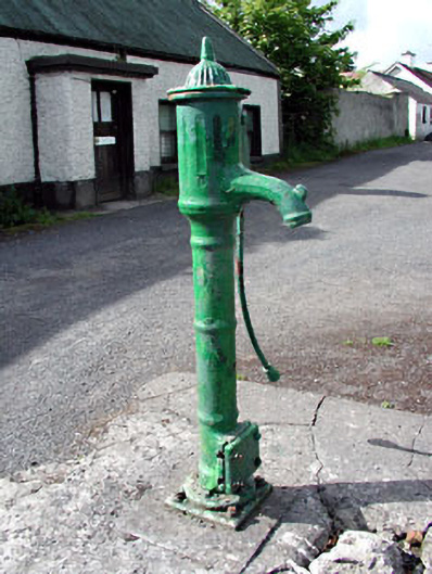 water pumpwater pump · 1491 yd
 CastleCastle, unclassified · 2.0 mi
 Fraine CastleCastle, tower house · 2.5 mi
 FraineMountain / peak · 2.6 mi
 JamestownMountain / peak · 2.6 mi
 FarmaphobiaHeritage attraction · 3.2 mi
 Causey FarmHeritage attraction · 3.2 mi
 Laurelberry WoodWood · 3.4 mi
 Girley WoodWood · 3.5 mi