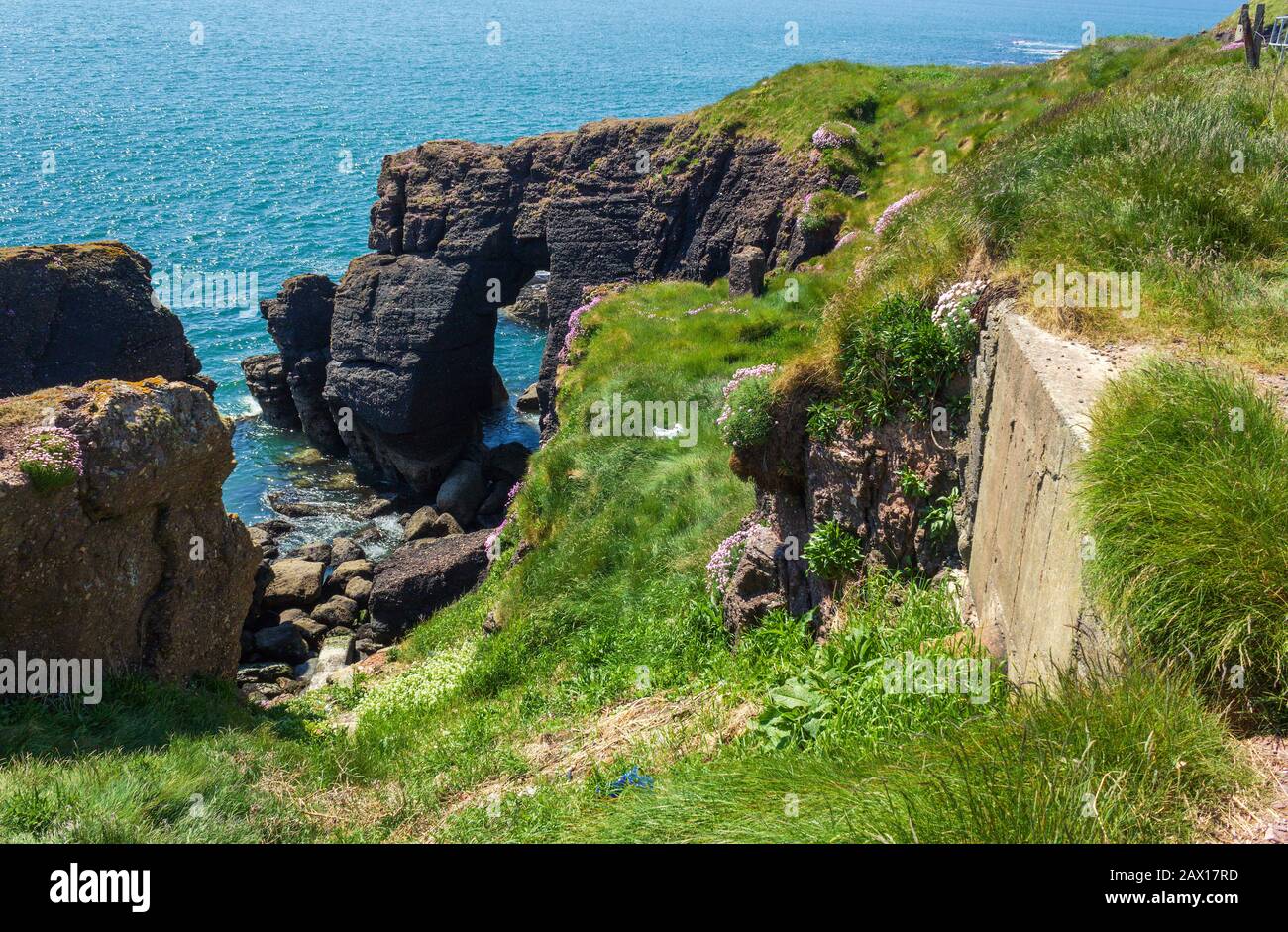
What is recorded here
Located inside the coastal promontory (WA027-035001-) jutting E into Waterford Harbour. According to Westropp (1914-16, 212-14) there was a circular hut site (WA027-035002-) and a low enclosure (diam. c. 48m) in the interior. The defences were levelled and the topsoil removed in the 1970s to create a carpark. Archaeological testing (01E0344) of the interior (Cleary 2003) produced no related material.
Cleary, R. (2003) Dunmore East. Promontory fort. in I. Bennett (Ed.) Excavations 2001: summary accounts of excavations in Ireland, 388, No. 1243. Wordwell. Bray.
Westropp, T. J. (1914-16) Fortiified headlands and castles on the south coast of Munster. PRIA C vol. 32, 188-227.
Compiled by: Michael Moore
Date of upload/revision: 10 June 2011
A local fairy fort (ringfort/rath); wider significance not recorded.
The monument record does not grant public access. Check the route and ask the landowner before entering private land.
- What survives
- Recorded monument
Places near here
 Shanooan, EntrenchmentPromontory fort, coastal · 49 yd
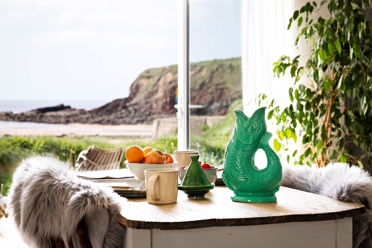 Hut site in DunmoreHut site · 55 yd
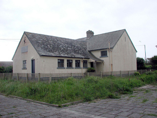 Dunmore East Convent National SchoolOfficially recorded historic building · 97 yd
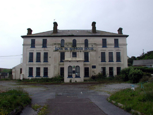 Dunmore Harbour Househouse · 112 yd
 Lost at Sea Memorial WallMemorial · 137 yd
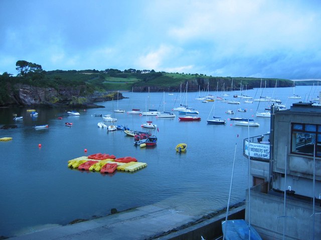 Harbour and Park walk.Walking route · 435 yd
 The WoodsWalking route · 594 yd
 Ladies CoveBeach / strand · 883 yd
 Castle in ruinsCastle, Anglo-Norman masonry castle · 929 yd
 Councillors StrandBeach / strand · 1183 yd
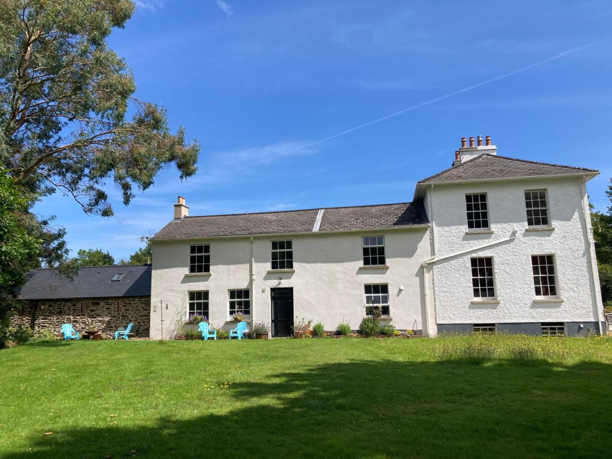 DoornogeHeadland · 2.6 mi
 South East Coastal DriveVisitor information · 2.7 mi
Other information
Photo: Credit not shown in the picture search · Rights wording not checked; contact us if this picture should be removed