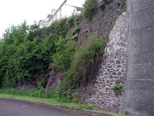
What is recorded here
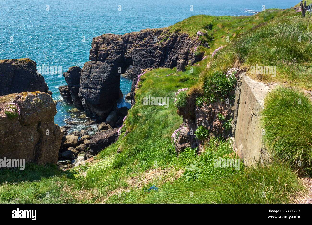
Section of rubble stone boundary/retaining wall, c.1940, with inset look-out post. Random rubble stone construction. Square-headed opening with concrete surround. Sited at side of road with look-out post on elevated level.
This look-out post, which is now disused but which was originally accessed through the grounds of the accompanying Garda Síochána Station (22817053/WD-27-17-53), is of considerable significance for its associations with the measures of security that were put in place during 'The Emergency’ (1939 - 1945), despite Ireland’s neutrality during the war. Originally overlooking the harbour, the construction of the cell is possibly of technical interest. The structure remains an attractive, if subtle, feature in the locality.
This does not grant access. Most recorded buildings are privately owned; view them only from public ground unless the owner allows entry.
Places near here
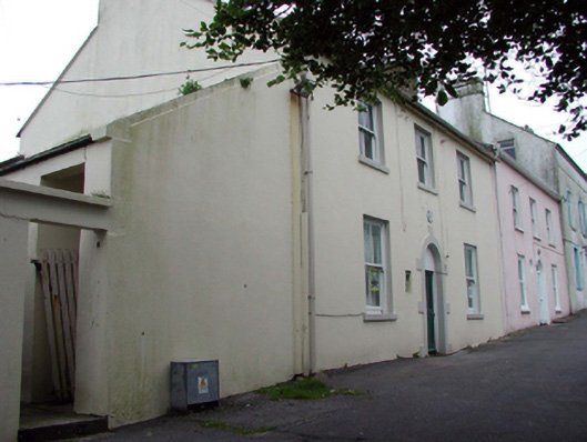 Dunmore East Garda Síochána Stationhouse · 15 yd
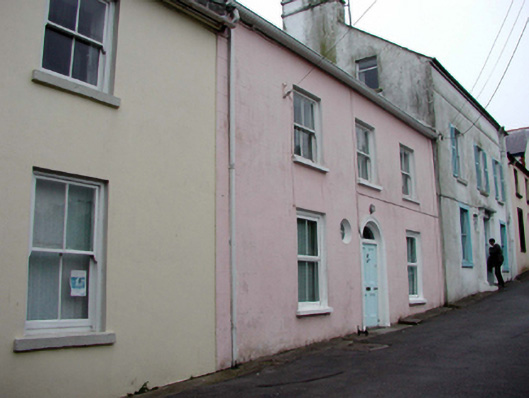 Pier Viewhouse · 25 yd
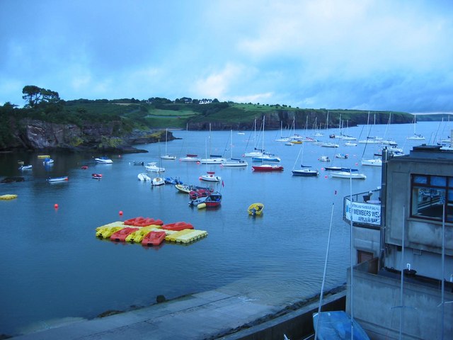 Harbour and Park walk.Walking route · 127 yd
 Lost at Sea Memorial WallMemorial · 204 yd
 Enclosure in DunmoreEnclosure · 310 yd
 Shanooan, EntrenchmentPromontory fort, coastal · 326 yd
 The WoodsWalking route · 336 yd
 Ladies CoveBeach / strand · 574 yd
 Castle in ruinsCastle, Anglo-Norman masonry castle · 619 yd
 Councillors StrandBeach / strand · 888 yd
 Knockavelish HeadHeadland · 2.6 mi
 South East Coastal DriveVisitor information · 2.7 mi
Other information
Photo: National Inventory of Architectural Heritage · Website use allowed for educational or private purposes with source credit