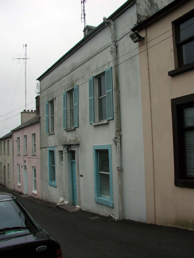
What is recorded here
Terraced three-bay two-storey coastguard station with dormer attic, c.1820. Renovated and extended, c.1970, comprising three-bay single-storey lean-to parallel return along rear (south-east) elevation with dormer attic added. Now in residential use. Pitched slate roof with clay ridge tiles, rendered chimney stacks, flat bitumen felt roofs, c.1970, to dormer attic windows, and replacement uPVC rainwater goods, c.1995, on rendered eaves. Lean-to artificial slate roof to return with plastic rainwater goods on timber eaves. Painted rendered walls with rendered stringcourse over openings to first floor. Square-headed window openings with stone sills (some replacement concrete sills, c.1970), and rendered architraves to ground floor. Replacement aluminium casement windows, c.1970, with louvered timber external shutters to first floor. Square-headed door opening with moulded rendered pilaster surround having consoled entablature, timber panelled door, and overlight. Road fronted.
A well-appointed, modest-scale house that is of particular significance in the locality for its original intended use as a coastguard station having close associations with the maritime activities that traditionally supported much of the economy of Dunmore East. Although much of the original form and massing remains intact, the external expression of the house has been undermined by the replacement of the fittings to the openings with inappropriate modern articles. The house remains an important element of the streetscape of Post Office Lane, forming part of a terrace of houses of similar appearance, and contributing to the stepped roofline of the terrace as it follows the incline of a hill.
This does not grant access. Most recorded buildings are privately owned; view them only from public ground unless the owner allows entry.
Places near here
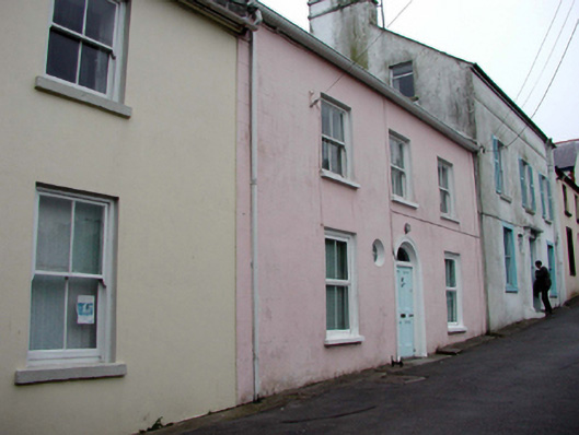 Pier Viewhouse · 11 yd
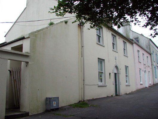 Dunmore East Garda Síochána Stationhouse · 22 yd
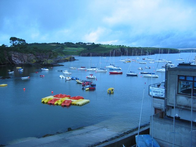 Harbour and Park walk.Walking route · 149 yd
 Lost at Sea Memorial WallMemorial · 207 yd
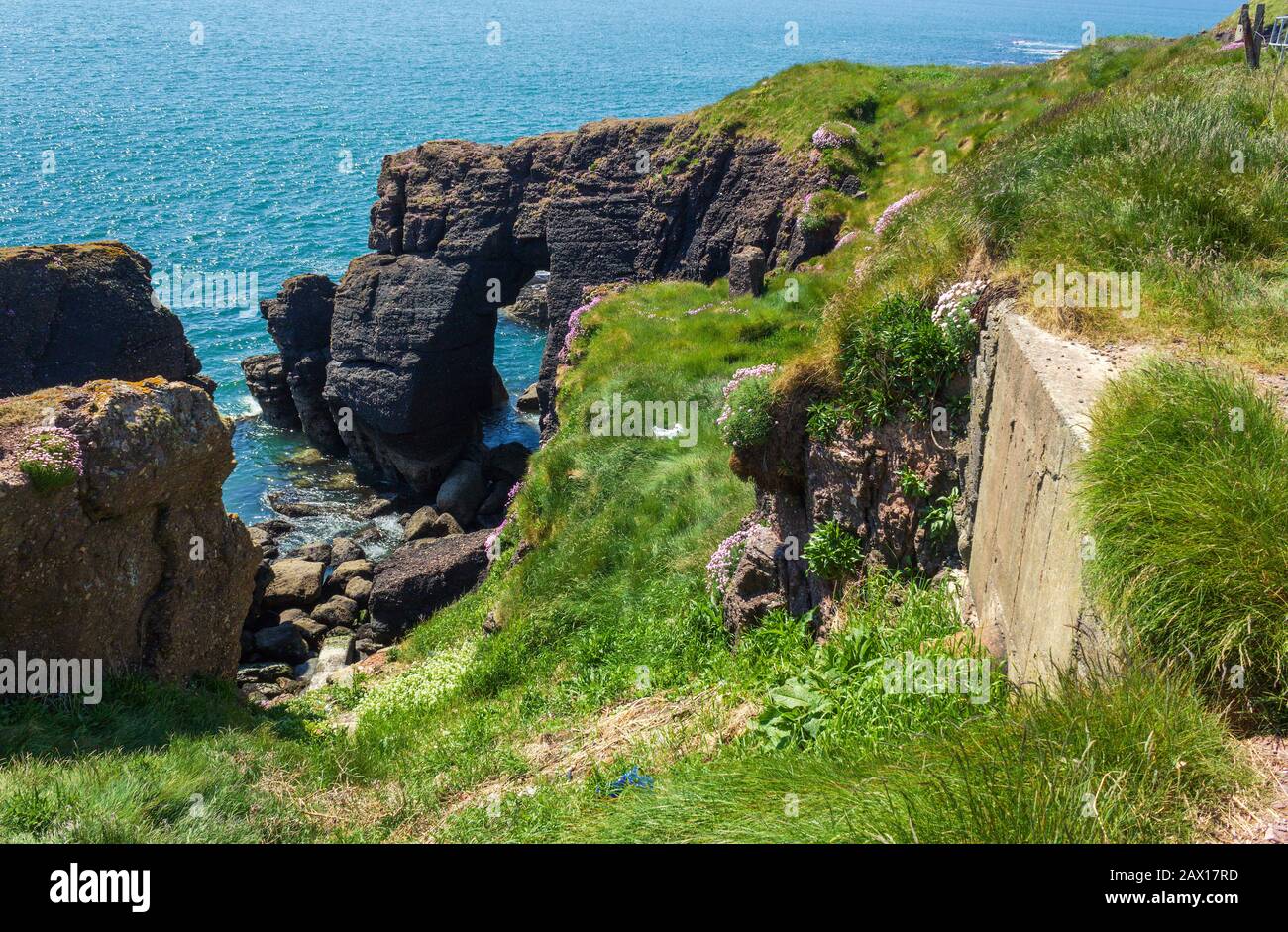 Enclosure in DunmoreEnclosure · 299 yd
 Hut site in DunmoreHut site · 318 yd
 The WoodsWalking route · 322 yd
 Ladies CoveBeach / strand · 590 yd
 Castle in ruinsCastle, Anglo-Norman masonry castle · 635 yd
 Councillors StrandBeach / strand · 912 yd
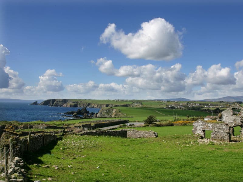 South East Coastal DriveVisitor information · 2.0 mi
 Knockavelish HeadHeadland · 2.6 mi
Other information
Photo: National Inventory of Architectural Heritage · Website use allowed for educational or private purposes with source credit