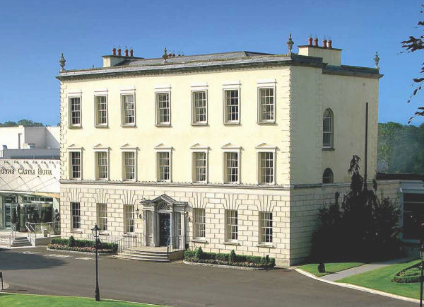
What is recorded here
Located on a level landscape. The cropmark of a D-shaped enclosure (dims c. 75m NW-SE; c. 40m NE-SW) defined by single fosse features and with straight sides at NW and SE is visible on Bing images (2013). It was first noted by Donal Lucy and is divided across the middle by another ditch feature while there may be an entrance gap on the SW side of the NW paddock. A small ring-ditch (diam. c. 10m) is in the SE enclosure, and it is cut slightly by the cropmark of a modern NE-SW drain. The ring-ditch (ME050-031----) is c. 250m to the N. A gradiometer survey (17R0075) by Earthsound confirmed the presence of this feature and identified some other anomalies, but the monument will be preserved in situ.
Compiled by: Michael Moore
Date of upload: 24 February, 2016
Amended: 3 November 2021
A local fairy fort (ringfort/rath); wider significance not recorded.
The monument record does not grant public access. Check the route and ask the landowner before entering private land.
- What survives
- Recorded monument
Places near here
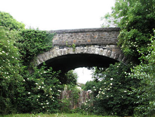 bridgebridge · 274 yd
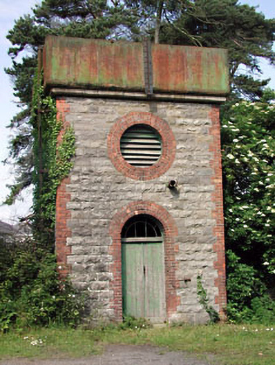 Dunboyne Railway Stationwater tower · 290 yd
 Enclosure in LoughsallaghEnclosure · 568 yd
 CastleCastle, ringwork · 1088 yd
 Font in DunboyneFont · 1161 yd
 TyrrelstownWood · 2.8 mi
 Church, GraveyardChurch · 2.8 mi
 Graveyard in BuzzardstownGraveyard · 3.1 mi
 Wesley's WoodsWood · 3.1 mi
 Luttrellstown CastleCastle · 3.3 mi
 Blanchardstown Centre information deskVisitor information · 3.5 mi
 Berkeley Costume and Toy CollectionMuseum · 5.5 mi
Other information
Photo: Credit not shown in the picture search · Rights wording not checked; contact us if this picture should be removed