What is recorded here
Located in pasture on the gentle SW-facing slope of a drumlin. A small oval enclosure (dims. c. 30m x c. 20m) is indicated as only on the 1907 edition of the OS 6-inch map, although the 25-inch map depicts a smaller embanked feature (diam. c. 15m). No archaeological feature is visible at ground level in pasture. Moore (Dublin: Stationery Office, 2003).
From the National Monuments Service (Archaeological Survey of Ireland) record LE030-008
The monument record does not grant public access. Check the route and ask the landowner before entering private land.
- What survives
- Recorded monument
Places near here
 Pedunculate Oak393 ydMass-rock (present location) in DrumeelaMass-rock (present location) · 1244 yd
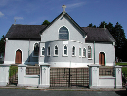 Saint Mary's Catholic ChurchChurch/chapel · 1263 yd
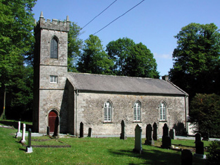 Killegar Church (Carrigallen)Church/chapel · 1.2 mi
 European Beech1.2 miDrummuckerMountain / peak · 1.3 miKing's GraveArchaeological place · 1.3 mi
 Evlagh MoreMountain / peak · 3.4 miCrane IslandIslet · 3.7 miBatteryBawn · 3.7 mi
 IndicatedGraveyard · 4.1 mi
 IndicatedCastle, tower house · 4.6 mi
Pictures: Algirdas at Lithuanian Wikipedia, Wikimedia Commons · Public domain; National Inventory of Architectural Heritage; Malene Thyssen, Wikimedia Commons · CC BY-SA 3.0; Kenneth Allen, Geograph · CC BY-SA 2.0; Oliver Dixon, Geograph · Creative Commons Attribution-ShareAlike 2.0; Kenneth Allen, Wikimedia Commons · Creative Commons Attribution-ShareAlike 2.0
More archaeology and monuments in County Leitrim · All of County Leitrim
What do you know about this place?