What is recorded here
Located in a fold on a W-facing slope. A feature is visible as a D-shaped area on aerial photographs (GSIAP: G 157-6). An intermittently visible band of lush vegetation (Wth 1.5m) forms an arc (Chord c. 25m) SW-NE which backs on to a drain at S. It might be a pond. Moore (Dublin: Stationery Office, 2003).
From the National Monuments Service (Archaeological Survey of Ireland) record LE027-021
The monument record does not grant public access. Check the route and ask the landowner before entering private land.
- What survives
- Recorded monument
Places near here
IndicatedEnclosure · 696 yd Battle of Áth an ChipBattle · 1002 ydmilestone/milepost1264 ydInishnagonIsland · 1300 ydwater pump1431 ydShannon-Erne WaterwayVisitor information · 1500 ydSit of Breifny CastleCastle, tower house · 1514 ydPortCastle, unclassified · 1.6 miLeabaidh DermotCave · 2.1 miFinn McCool's MonumentArchaeological place · 4.5 miBristlecone Fir6.1 miWestern Hemlock6.1 mi
_-_WGA24165.jpg/250px-Tapestry_by_unknown_weaver_-_The_Bayeux_Tapestry_(detail)_-_WGA24165.jpg "Photo: Unknown Weaver, English (active c. 1080), Wikimedia Commons · Public domain") Battle of Áth an ChipBattle · 1002 yd
Battle of Áth an ChipBattle · 1002 yd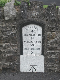 milestone/milepost1264 ydInishnagonIsland · 1300 yd
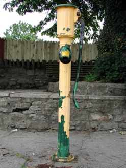 water pump1431 yd
 Shannon-Erne WaterwayVisitor information · 1500 ydSit of Breifny CastleCastle, tower house · 1514 ydPortCastle, unclassified · 1.6 miLeabaidh DermotCave · 2.1 mi
 Finn McCool's MonumentArchaeological place · 4.5 mi
 Bristlecone Fir6.1 mi
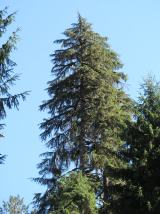 Western Hemlock6.1 mi
Pictures: Unknown Weaver, English (active c. 1080), Wikimedia Commons · Public domain; National Inventory of Architectural Heritage; Suse, Geograph · CC BY-SA 2.0; John M, Geograph · CC BY-SA 2.0; Silversyrpher (very busy at the moment) from Scotland, UK, Wikimedia Commons · CC BY 2.0; Doug Kerr from Albany, NY, United States, Wikimedia Commons · CC BY-SA 2.0
More archaeology and monuments in County Leitrim · All of County Leitrim
What do you know about this place?