
What is recorded here
In improved pasture, on top of a hillock with panoramic views, except where obscured by a similar hillock to the NW. Levelled remains of an oval area (dims. 29m NE-SW; 24m NW-SE) defined by a possible man-made scarp (Wth 12m; H 2.3m) from SE-SW. The scarp (Wth 11.5m; H 2.2m) is more gradual from WSW-NW and at the NE. The interior has a SE-facing slope in the SE sector. There is a natural break of slope around the top of the hillock which falls from the base of possible the scarp. The monument is difficult to define as it has been levelled out across the crest of the hill.
Compiled by: Jean Farrelly
Date of upload: 26 August 2011
The monument record does not grant public access. Check the route and ask the landowner before entering private land.
- What survives
- Recorded monument
Places near here
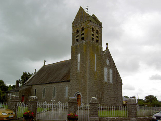 Saint Bridget's Catholic Churchchurch/chapel · 444 yd
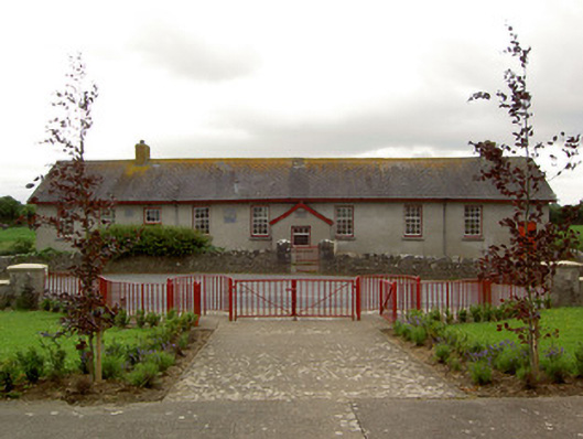 Curraghpoor Schoolschool · 942 yd
 Enclosure in MountwilliamEnclosure · 987 yd
 Enclosure in AttybrickEnclosure · 1506 yd
 Site of CastleCastle, unclassified · 1600 yd
 Kilfeakle Castle (in ruins)Castle, tower house · 1.5 mi
 Maudemount BogWood · 2.4 mi
 Dundrum Woods (Marl Bog)Forest · 2.5 mi
 Soloheadbeg Ambushambush · 3.4 mi
 Soloheadbeg Ambush SiteMemorial · 3.6 mi
 I.R.A. 3rd. Tipperary Brigade MemorialMemorial · 3.9 mi
 It's a long way to TippereryHeritage attraction · 4.6 mi
Other information
Photo: Credit not shown in the picture search · Rights wording not checked; contact us if this picture should be removed