What is recorded here
In a former quarry, reinstated as pasture, on a SW-facing slope. It is depicted on the 1st (1840) ed. OS 6-inch map as a small mound (diam. c. 10m). This possible cairn is not visible at ground level. It was also visible as a small, circular anomaly to the ESE of an enclosure (TS059-025001-) on an aerial photograph (GSI R437/6, 16/04/1974). According to local information, there was a 'fort' in this field which may have been levelled out when the surrounding field boundaries were removed during the 1960s.
Compiled by: Jean Farrelly
Date of revised upload: 19 October 2015
The monument record does not grant public access. Check the route and ask the landowner before entering private land.
- What survives
- Recorded monument
Places near here
 Enclosure in AttybrickEnclosure · 111 yd
 TemplemacduaghChurch · 540 yd
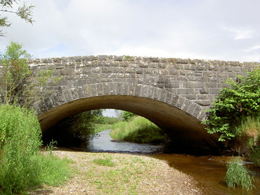 Morpeth Bridgebridge · 571 yd
 FarranaraheenEnclosure · 1353 yd
 Site of CastleCastle, unclassified · 1.1 mi
 Maudemount BogWood · 1.6 mi
 Shanbally fortCastle, ringwork and bailey · 1.9 mi
 Dundrum Woods (Marl Bog)Forest · 2.0 mi
 Soloheadbeg Ambushambush · 3.0 mi
 Soloheadbeg Ambush SiteMemorial · 3.4 mi
 I.R.A. 3rd. Tipperary Brigade MemorialMemorial · 4.4 mi
 It's a long way to TippereryHeritage attraction · 4.9 mi