
What is recorded here
In improved pasture, on a NE-facing slope, just above a steep break of slope. The church is not visible at ground level. It is depicted on the 1840 ed. OS 6-inch map as a rectangular building (dims. 13m ESE-WNW; 4.5m NNE-SSW) named 'Templemacduagh'. A holy well (TS059-024002-) named 'Tobarmacduagh' is depicted c. 10m to the S. There are numerous undulations in the field but nothing discernible. A large mature beech tree in the area of the church is within a gentle hollow which may have formed as a result of root activity. Lush grass and nettles surround the base of the tree. According to O'Flanagan (1930, 253), 'In the townland of Alleen-Ryan is the site of the old Church called Teampull Mhic Duach and near it a holy well called Tobar Mhic Duach…'. The area is not known of locally as a church site, but a wooded area nearby to the ESE is reputed to have been a graveyard.
Compiled by: Jean Farrelly
Date of upload: 26 August 2011
The monument record does not grant public access. Check the route and ask the landowner before entering private land.
- What survives
- Recorded monument
Places near here
 Enclosure in AttybrickEnclosure · 456 yd
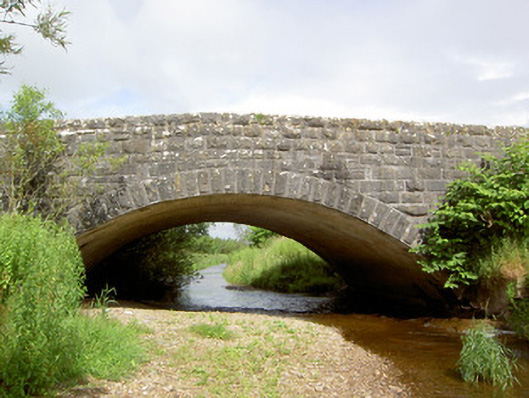 Morpeth Bridgebridge · 856 yd
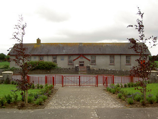 Curraghpoor Schoolschool · 1140 yd
 Enclosure in Pallas (donohill Par.)Enclosure · 1480 yd
 Site of CastleCastle, unclassified · 1.4 mi
 Shanbally fortCastle, ringwork and bailey · 1.6 mi
 Maudemount BogWood · 1.8 mi
 Dundrum Woods (Marl Bog)Forest · 2.2 mi
 Soloheadbeg Ambushambush · 2.7 mi
 Soloheadbeg Ambush SiteMemorial · 3.1 mi
 I.R.A. 3rd. Tipperary Brigade MemorialMemorial · 4.1 mi
 It's a long way to TippereryHeritage attraction · 4.6 mi
Other information
Photo: Credit not shown in the picture search · Rights wording not checked; contact us if this picture should be removed