
What is recorded here
Donaskeagh Castle stands as a level square knoll in lush Tipperary pasture, overlooking the Multeen river valley. Out of repair by 1640, it hid its walls beneath grass until livestock erosion exposed buried masonry on the east side. The castle resisted description for centuries, revealing only fragments when the ground itself gave way.
In lush pasture, overlooking the Multeen river valley to the N. The castle is located within a much denuded enclosure (TS059-053002-) and there is a small pond to the SSW. In 1569 there is a reference to the castle at 'Doneskeoghe' (Butler 1914, 11). The castle is depicted in the Down Survey map (1655-6) and the Civil Survey (1654-6) states that the castle was on lands leased by Sir Phillip Percival and owned by Richard Butler of Kilcash in 1640, and is described as being 'out of repayre' (Simington 1934, vol. 2, 13). The castle consists of a level square knoll (dims. 11.6m E-W; 9m N-S) defined by a gentle scarp (max. Wth 7.5m; max. H 1m) on all sides. The knoll probably covers the lower courses of the castle foundations. Some stones and masonry are exposed on the E side, near the base of the knoll where livestock have eroded the ground surface. The OS Letters (O'Flanagan 1930, vol. 1, 93) describe 'the site of a castle but none of the walls are perfect, nor can the extent of the building be ascertained'.
Compiled by: Jean Farrelly
Date of upload: 26 August 2011
The monument record does not grant public access. Check the route and ask the landowner before entering private land.
- What survives
- Recorded monument
Places near here
 DunnasgiathChurch · 625 yd
 FarranaraheenEnclosure · 729 yd
 Enclosure in AttybrickEnclosure · 1475 yd
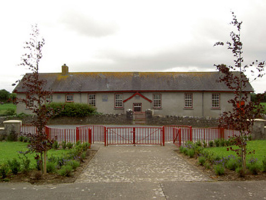 Curraghpoor Schoolschool · 1566 yd
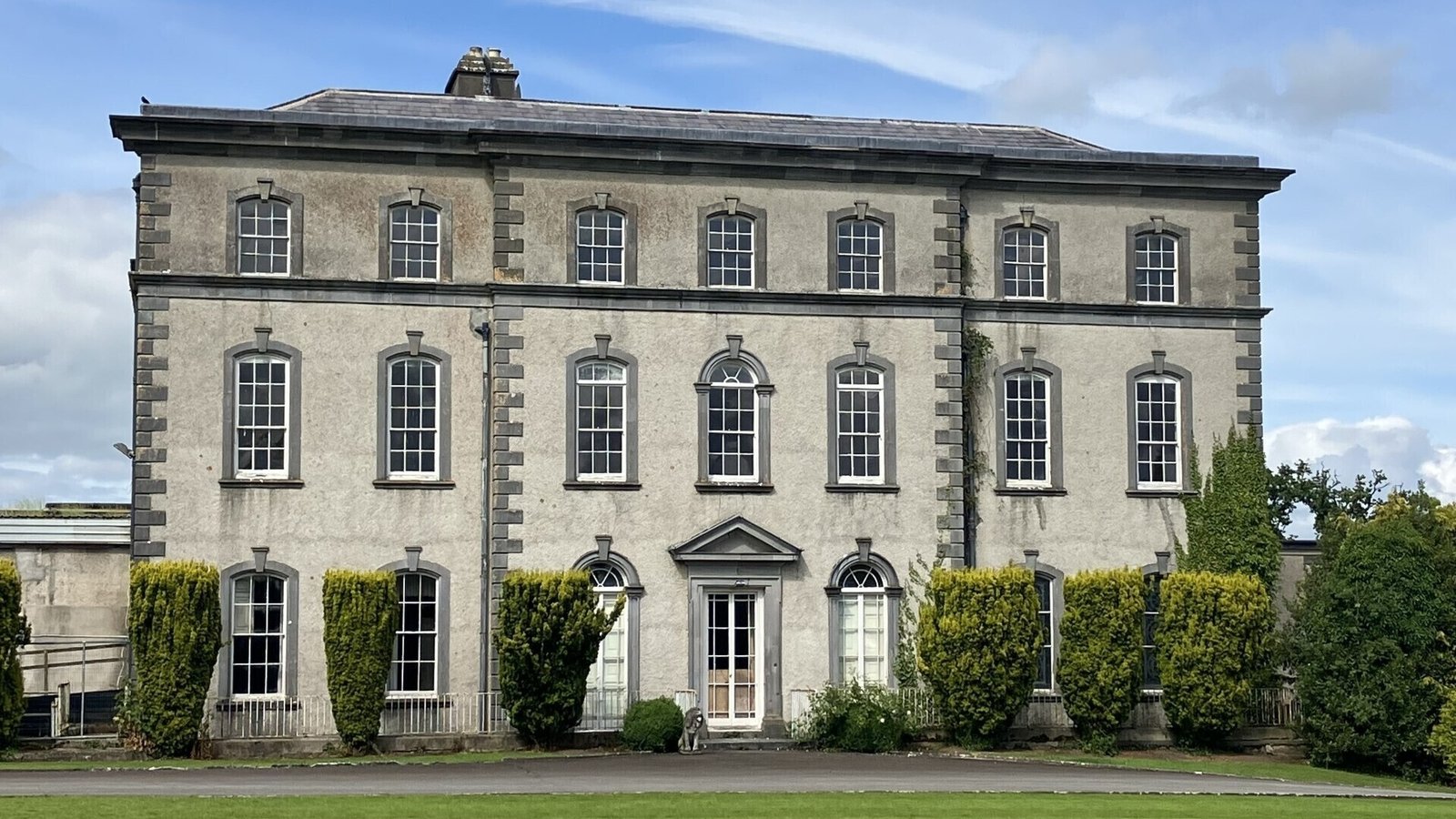 IndicatedCastle, ringwork · 1.3 mi
 Grantstown CastleCastle · 1.6 mi
 Dundrum Woods (Marl Bog)Forest · 1.7 mi
 Maudemount BogWood · 1.8 mi
 Soloheadbeg Ambushambush · 4.0 mi
 Soloheadbeg Ambush SiteMemorial · 4.3 mi
 I.R.A. 3rd. Tipperary Brigade MemorialMemorial · 4.9 mi
 It's a long way to TippereryHeritage attraction · 5.5 mi
Other information
Photo: Credit not shown in the picture search · Rights wording not checked; contact us if this picture should be removed