What is recorded here
In improved, undulating pasture, truncated by a regional road (long-axis NE-SW; Wth 6m). There is a sunken, oblong curvilinear depression (dims. 24m NE-SW; 8m NW-SE) defined by scarp (Wth 5m H 0.35m) NW of the road and a poorly drained, sunken, D-shaped depression (dims. 12m NW-SE; 12m NE-SW) defined by scarp (Dth 0.5m) SE of the road. Both features have been levelled out and appear natural. It is depicted on the 1st (1840) ed. OS 6-inch map as an oval area (dims. c. 40m N-S; c. 37m E-W) bisected by the road.
Compiled by: Jean Farrelly
Date of upload: 26 August 2011
The monument record does not grant public access. Check the route and ask the landowner before entering private land.
- What survives
- Recorded monument
Places near here
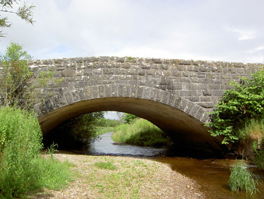 Morpeth Bridgebridge · 430 yd
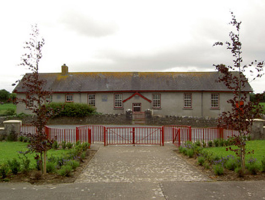 Curraghpoor Schoolschool · 636 yd
 FarranaraheenEnclosure · 934 yd
 Site of CastleCastle, unclassified · 1475 yd
 Enclosure in DrishaneEnclosure · 1506 yd
 Maudemount BogWood · 1.7 mi
 Dundrum Woods (Marl Bog)Forest · 1.9 mi
 Shanbally fortCastle, ringwork and bailey · 2.1 mi
 Soloheadbeg Ambushambush · 3.2 mi
 Soloheadbeg Ambush SiteMemorial · 3.6 mi
 I.R.A. 3rd. Tipperary Brigade MemorialMemorial · 4.4 mi
 It's a long way to TippereryHeritage attraction · 5.0 mi
Other information
Photo: Credit not shown in the picture search · Rights wording not checked; contact us if this picture should be removed