What is recorded here
In lush meadow. A natural mound has been modified to form a roughly circular area (dims. 13m E-W; 12m N-S) defined by scarp (Wth1.35m; H 0.45m) WSW-ENE and by a long, gentle scarp (Wth 30m; H 2.55m) ENE-WSW. Intervening fosse (basal Wth 1.6m; overall Wth 4.55m; Dth 0.65m) and outer bank (int. H 0.65m; ext. H 0.4m; Wth at top 2m; total Wth 4.6m) WSW-ENE. Fosse is open-ended and continues beyond scarp at WSW and ENE and doubles back around base of natural mound. Fosse (basal Wth 2.55m; overall 4.25m; Dth 0.1m) is best preserved WSW-NNE. An inner scarp (Wth 1.25m; H 1.1m) is on the inside of the fosse and an outer bank (Wth at top 2m; total Wth 4.9m; int. H 0.5m; ext. H 0.4m) is on the exterior. Inner scarp, fosse and outer bank are best preserved WSW-NNE and outer bank is levelled N-E. Gap (Wth 4.5m) in inner scarp at N. The area of the natural mound enclosed by the fosse and bank WSW-ESE is very steep and unlikely to have been inhabited.
Compiled by: Jean Farrelly
Date of upload: 07 July 2014
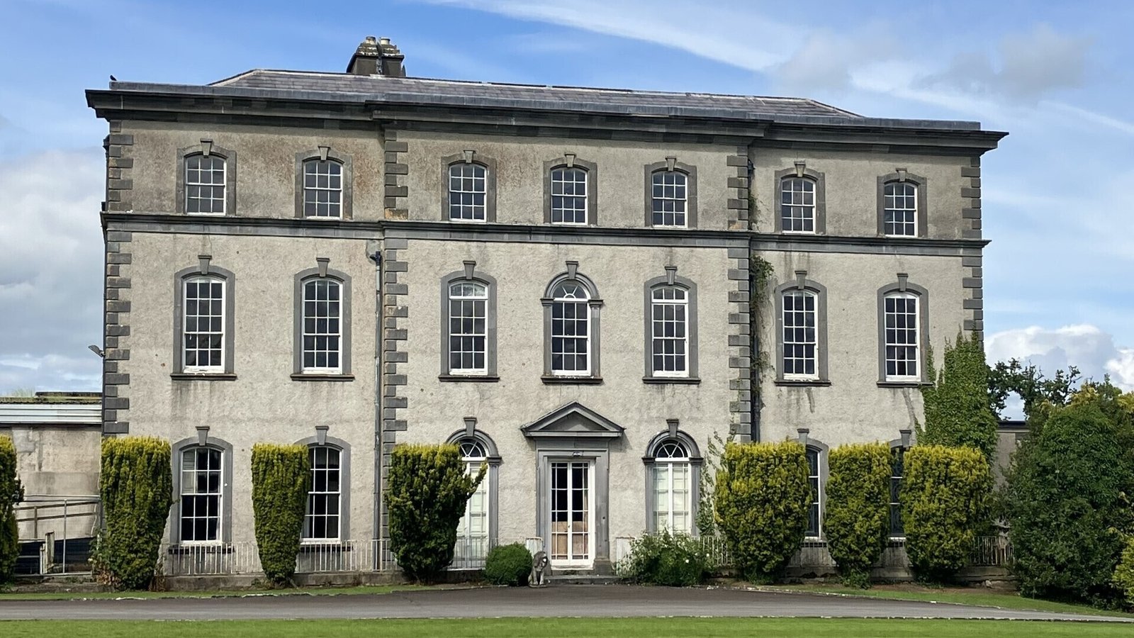
Dundrum Castle was built by the MacDonnchadha (MacDermot) clan in the 13th century. It is remembered as a significant medieval stronghold in the Kingdom of Connacht and for its strategic position near the River Duff.
The monument record does not grant public access. Check the route and ask the landowner before entering private land.
- What survives
- Recorded monument
Places near here
 Enclosure in DundrumEnclosure · 628 yd
 Enclosure in Kilmore UpperEnclosure · 837 yd
 Church in Ballintemple (ballintemple Par.),dundrumChurch · 1007 yd
 Track of Cromwells RoadRoad, road/trackway · 1141 yd
 Bawn in Ballinaclogh (rathlynin Par.)Bawn · 1.3 mi
 European ashEuropean ash · 1.3 mi
 Site of CastleCastle, unclassified · 1.3 mi
 Woodcock GroveWood · 1.5 mi
 Athassel PrioryHeritage attraction · 4.4 mi
 I.R.A. 3rd. Tipperary Brigade MemorialMemorial · 6.1 mi
 The RockViewpoint · 8.4 mi
 Oola HillMountain / peak · 9.1 mi
Other information
Photo: Credit not shown in the picture search · Rights wording not checked; contact us if this picture should be removed