
What is recorded here
In improved pasture, at the base of a NE-facing slope, c. 50m to the SW of the Multeen River. The church is not visible at ground level but there are small, loose stones scattered over this area of field and the scant remains of a levelled field boundary, running ENE-WSW, across the area of the monument. A land drain (long axis c. NW-SE) flanks the area of the monument to the NE. It is named on the 1904 edition OS 6-inch map as 'Dunnasgiath (Site of)' and according to the OS Letters (O' Flanagan 1930, vol. 1, 93), 'A short distance to the northwest [should read east] of this Hill of Dun na Sgiath [TS059-054----] there is a spot covered in thorns believed to be the site of a Church, and about thirty paces to the south of it is a holy well called Tobar Lachtin'. This holy well (TS059-055002-) is c. 25m to the SE.
Compiled by: Jean Farrelly
Date of upload: 26 August 2011
The monument record does not grant public access. Check the route and ask the landowner before entering private land.
- What survives
- Recorded monument
Places near here
 Site of CastleCastle, unclassified · 625 yd
 Rathvallygoney FortFairy fort / earthen ringfort · 976 yd
 FarranaraheenEnclosure · 1352 yd
 Church in Ballintemple (ballintemple Par.),dundrumChurch · 1.0 mi
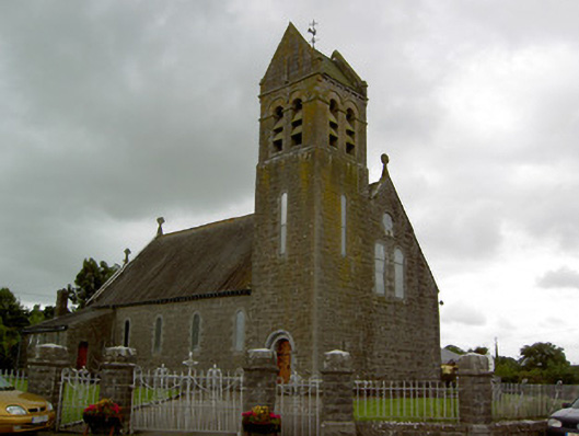 Saint Bridget's Catholic Churchchurch/chapel · 1.1 mi
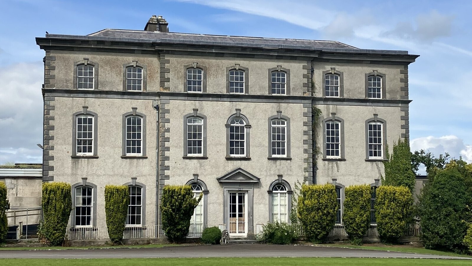 IndicatedCastle, ringwork · 1.2 mi
 Dundrum Woods (Marl Bog)Forest · 1.9 mi
 Maudemount BogWood · 2.1 mi
 Soloheadbeg Ambushambush · 4.3 mi
 Soloheadbeg Ambush SiteMemorial · 4.5 mi
 I.R.A. 3rd. Tipperary Brigade MemorialMemorial · 4.9 mi
 It's a long way to TippereryHeritage attraction · 5.5 mi
Other information
Photo: Credit not shown in the picture search · Rights wording not checked; contact us if this picture should be removed