What is recorded here
In improved pasture, on a low, natural rise of a SE-facing slope. Levelled remains of an oval area (dims. 43m NW-SE; 26m NE-SW) defined by traces of scarp which have been levelled off into the natural rise. It is visible as the curvilinear scarp (Wth 7.8m; H 0.8m) of a natural rise ESE-SSW and barely traceable possible scarp (Wth 2.75m; H 0.15m) from SSW-NNW. The irregular side to the NE also appears to fall with the natural slope. It is depicted on the 1840 and 1904 edition OS 6-inch map as a sub-oval enclosure truncated by a road across the NE sector. It is possibly the earthen fort mentioned by Flanagan (1930, 93) as 'Dún na Sciath', the location of which is depicted on the 1904 map c. 270m to the NE as 'Dunnasgiath (Site of)'.
Compiled by: Jean Farrelly
Date of upload: 26 August 2011
The monument record does not grant public access. Check the route and ask the landowner before entering private land.
- What survives
- Recorded monument
Places near here
 DunnasgiathChurch · 324 yd
 Site of CastleCastle, unclassified · 495 yd
 Rathvallygoney FortFairy fort / earthen ringfort · 1121 yd
 FarranaraheenEnclosure · 1196 yd
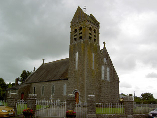 Saint Bridget's Catholic Churchchurch/chapel · 1586 yd
 Grantstown CastleCastle · 1.3 mi
 Dundrum Woods (Marl Bog)Forest · 1.9 mi
 Maudemount BogWood · 2.1 mi
 Soloheadbeg Ambushambush · 4.1 mi
 Soloheadbeg Ambush SiteMemorial · 4.4 mi
 I.R.A. 3rd. Tipperary Brigade MemorialMemorial · 4.8 mi
 It's a long way to TippereryHeritage attraction · 5.4 mi